Map of Port Angeles, Washington
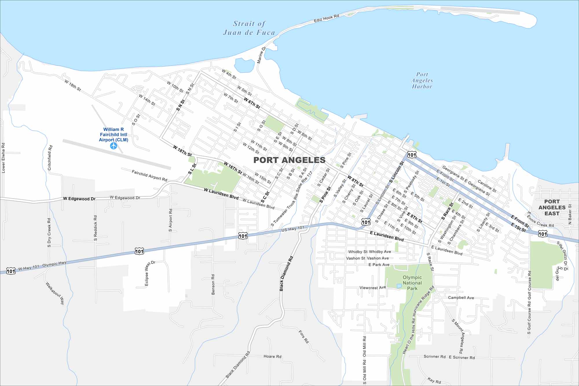
Port Angeles faces the Strait of Juan de Fuca at the edge of the Olympic Peninsula. Take a look at our map to see its waterfront streets, parks and airport.
Map Information
On the Map
Interstates/Highways: US Hwy 101, State Rte 117 Major Roads: Lauridsen Blvd, Front St, First St, Marine Dr, Race St, Lincoln St, Peabody St, Golf Course Rd, Mount Angeles Rd, Hurricane Ridge Rd, 8th St, 18th St, Tumwater Truck Rte, Edgewood Dr, Airport Rd, Black Diamond Rd, Pine St, Cherry St, Oak St, Laurel St Airports: William R Fairchild Intl Airport (CLM) Lakes and Reservoirs: Strait of Juan de Fuca, Port Angeles Harbor Parks and Preserves: Olympic National Park Nearby Communities: Port Angeles EastWashington State Maps
Move through the Evergreen State with our map collection.


City Maps of Washington
Check out our city maps of Washington


