Map of Pittsburgh, Pennsylvania
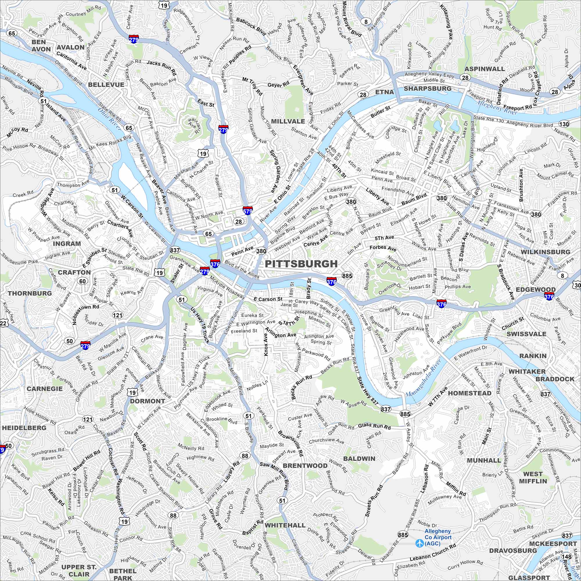
Pittsburgh sits at the confluence of three rivers, with bridges everywhere you look. Then, the downtown skyline rises right at the riverfront point. Our map shows how hills and valleys shape the neighborhoods.
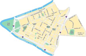
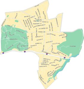
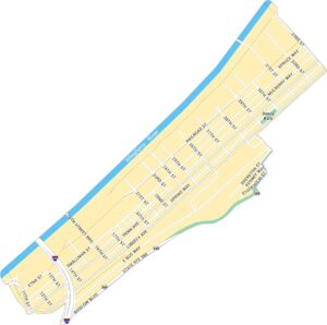
Pittsburgh Neighborhood Maps
See our neighborhood maps for a closer look of the city.
Map Information
On the Map
Interstates/Highways: I-279, I-376, I-579, US Hwy 19, US Hwy 22, US Hwy 30, State Rte 8, State Rte 28, State Rte 51, State Rte 65, State Rte 121, State Rte 837, State Rte 885 Major Roads: Liberty Ave, Penn Ave, Carson St, Fifth Ave, Forbes Ave, Blvd of the Allies, Baum Blvd, Butler St, Frankstown Ave, Washington Blvd, W Carson St, Banksville Rd, Saw Mill Run Blvd, Ohio River Blvd, Bigelow Blvd, Centre Ave, Beechwood Blvd, Browns Hill Rd, Library Rd, McNeilly Rd Airports: Allegheny Co Airport (AGC) Major Rivers: Allegheny River, Monongahela River, Ohio River Nearby Communities: Avalon, Bellevue, Millvale, Etna, Sharpsburg, Aspinwall, Wilkinsburg, Edgewood, Swissvale, Rankin, Braddock, Homestead, West Mifflin, Baldwin, Brentwood, Whitehall, Dormont, Carnegie, Crafton, IngramPennsylvania State Maps
Browse maps throughout the Keystone State.


City Maps of Pennsylvania
Here is our city map collection for all of Pennsylvania.


