Map of Pendleton, Oregon
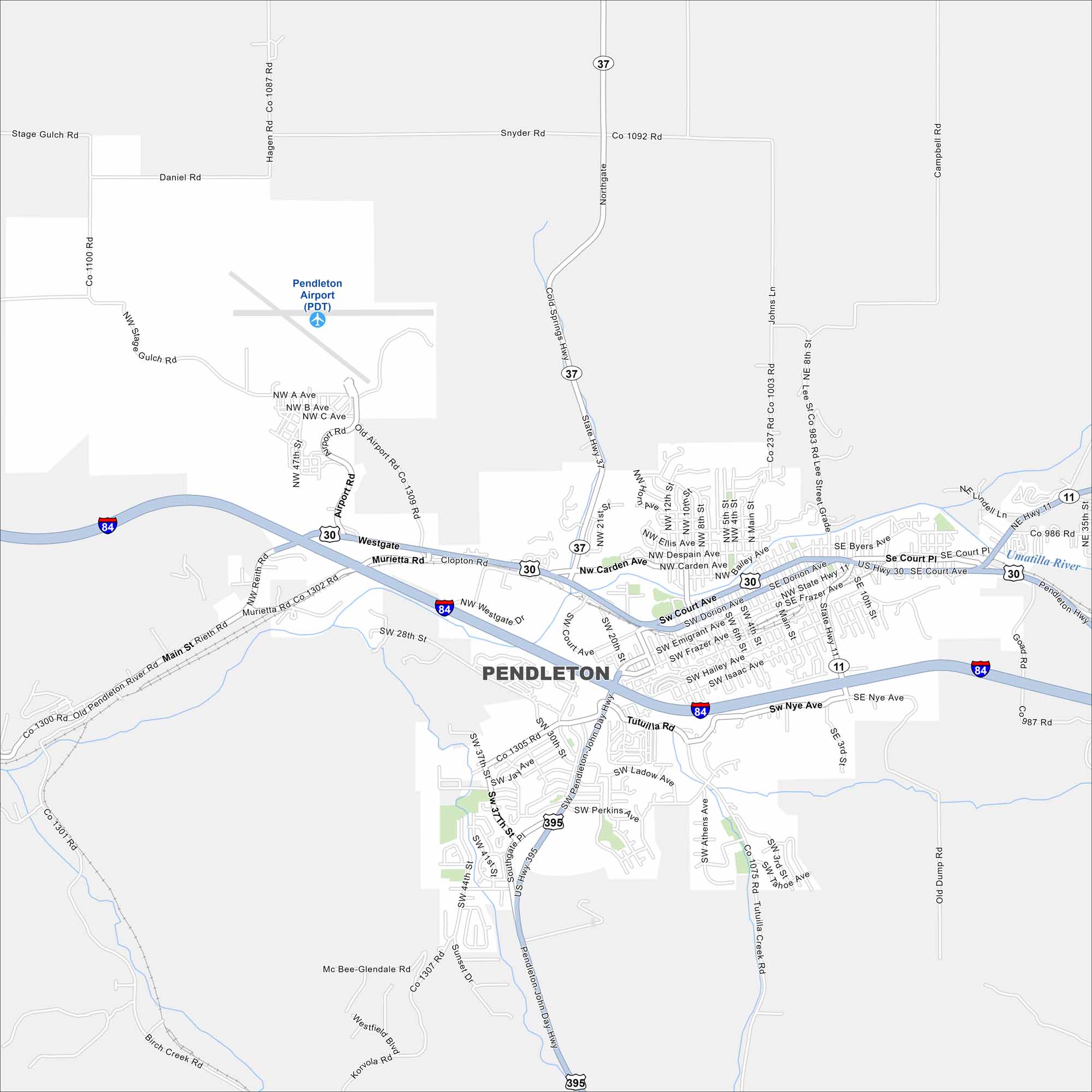
Pendleton sits along the Umatilla River at the base of the Blue Mountains. Check out our map to spot its compact downtown and surrounding farmland. The city is famous for the annual Pendleton Round-Up rodeo.
Map Information
On the Map
Interstates/Highways: I-84, US Hwy 30, US Hwy 395, State Hwy 11, State Hwy 37 Major Roads: Court Ave, Dorion Ave, Frazer Ave, Emigrant Ave, Main St, 10th St, 20th St, Southgate Pl, Airport Rd, Westgate, Nye Ave, Tutuilla Rd, Perkins Ave, Rieth Rd, Goad Rd, Marshall Dr, Athens Ave, Isaac Ave, Hailey Ave, Carden Ave Airports: Pendleton Airport (PDT) Major Rivers: Umatilla RiverOregon State Maps
Here is our state map collection of Oregon.


City Maps of Oregon
Get to know Portland and Oregon’s urban areas.


