Map of Olympia, Washington
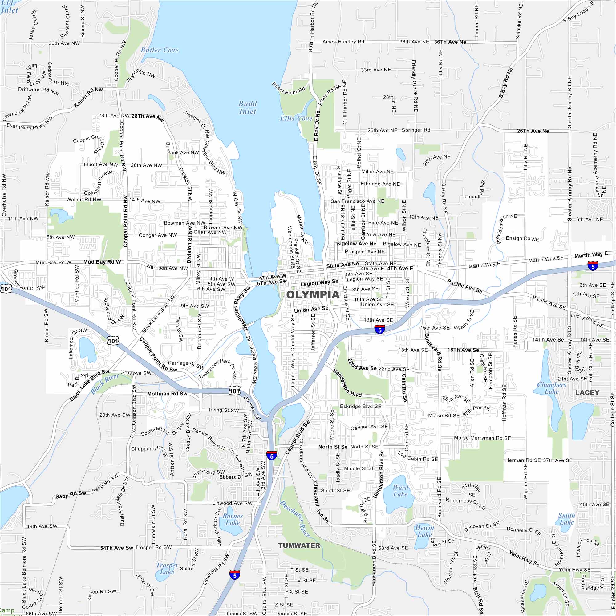
Our map of Olympia outlines Washington’s capital on the southern tip of Puget Sound. Government buildings and marinas cluster near downtown. The city is surrounded by water views and forested hills.
Map Information
On the Map
Interstates/Highways: I-5, US Hwy 101 Major Roads: Capitol Way, State Ave, 4th Ave, Harrison Ave, Pacific Ave, Martin Way, Black Lake Blvd, Cooper Point Rd, Henderson Blvd, Plum St, Eastside St, 14th Ave, 18th Ave, 22nd Ave, Trosper Rd, Cleveland Ave, Mottman Rd, Division St, Yelm Hwy, Boulevard Rd Lakes and Reservoirs: Budd Inlet, Eld Inlet, Butler Cove, Ellis Cove, Ward Lake, Hewitt Lake, Barnes Lake, Trosper Lake, Chambers Lake, Smith Lake Major Rivers: Deschutes River, Black River Nearby Communities: Tumwater, LaceyWashington State Maps
Move through the Evergreen State with our map collection.


City Maps of Washington
Check out our city maps of Washington


