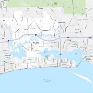
Map of Ocean Springs, Mississippi
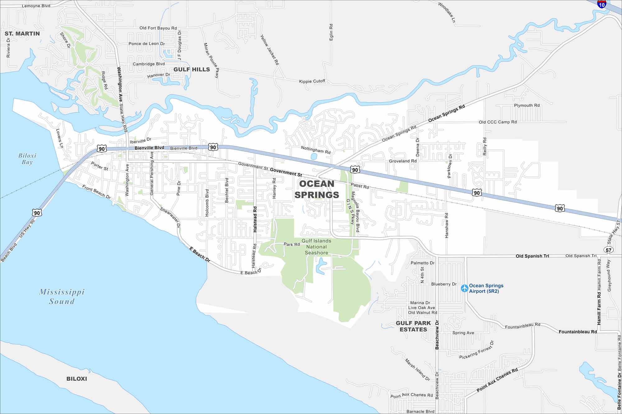
Our map of Ocean Springs outlines a Gulf Coast city east of Biloxi. Its downtown is near the water, while neighborhoods extend inland. Beaches and bayous are key features of the area.
Map Information
On the Map
Interstates/Highways: I-10, US Hwy 90, State Hwy 609, State Hwy 57 Major Roads: Bienville Blvd, Government St, Beach Blvd, East Beach Dr, Ocean Springs Rd, Hanshaw Rd, Old Spanish Trl, Suncrest Dr, Shearwater Dr, General Pershing Ave, Washington Ave, Porter St, Front Beach Dr, Iberville Dr, Halstead Rd, Holcomb Blvd, Bechtel Blvd, Hanley Rd, Park Rd, Magnolia Bayou Blvd Airports: Ocean Springs Airport (5R2) Lakes and Reservoirs: Biloxi Bay, Mississippi Sound Parks and Preserves: Gulf Islands National Seashore Nearby Communities: St Martin, Gulf Hills, Biloxi, Gulf Park EstatesMississippi State Maps
Explore maps of Mississippi’s towns, rivers, and roads.


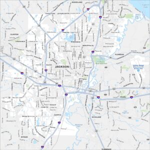
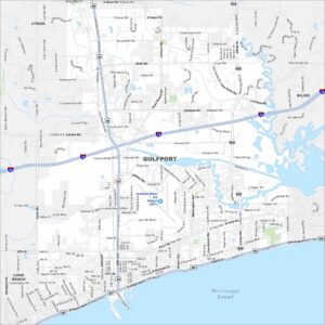
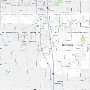
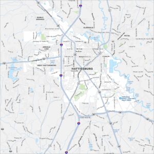
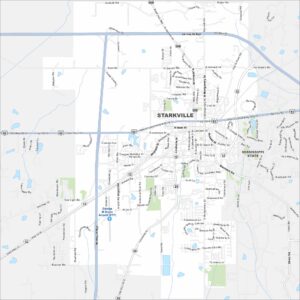
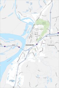
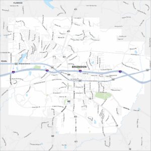
Mississippi City Maps
Discover Mississippi with our city maps