Map of Noblesville, Indiana
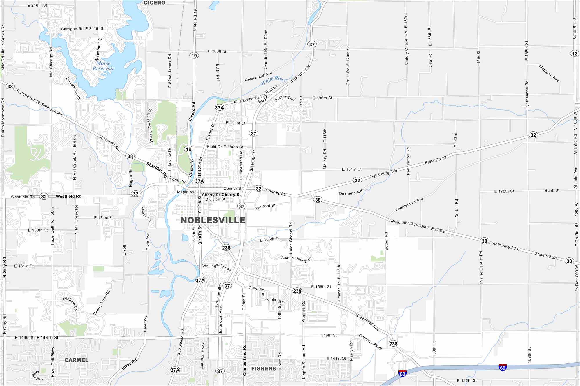
Noblesville lies north of Indianapolis along the White River. Our map shows a historic downtown square surrounded by new neighborhoods. It’s one of the fastest-growing cities in the region.
Indiana State Maps
Study about Indiana with our map collection


Map Information
On the Map
Interstates/Highways: I-69, State Rte 19, State Rte 32, State Rte 37, State Rte 37A, State Rte 38, State Rte 238 Major Roads: Conner St, Allisonville Rd, 146th St, Greenfield Ave, 10th St, 8th St, Cumberland Rd, River Rd, Olio Rd, 191st St, 166th St, 156th St, 141st St, Promise Rd, Union Chapel Rd, Howe Rd, Boden Rd, Atlantic Rd, Cherry Tree Rd, Hazel Dell Pkwy Lakes and Reservoirs: Morse Reservoir Major Rivers: White River Nearby Communities: Carmel, Fishers, CiceroIndiana City Maps
Here are our maps of Indianapolis and Indiana cities


