Satellite Map of New York
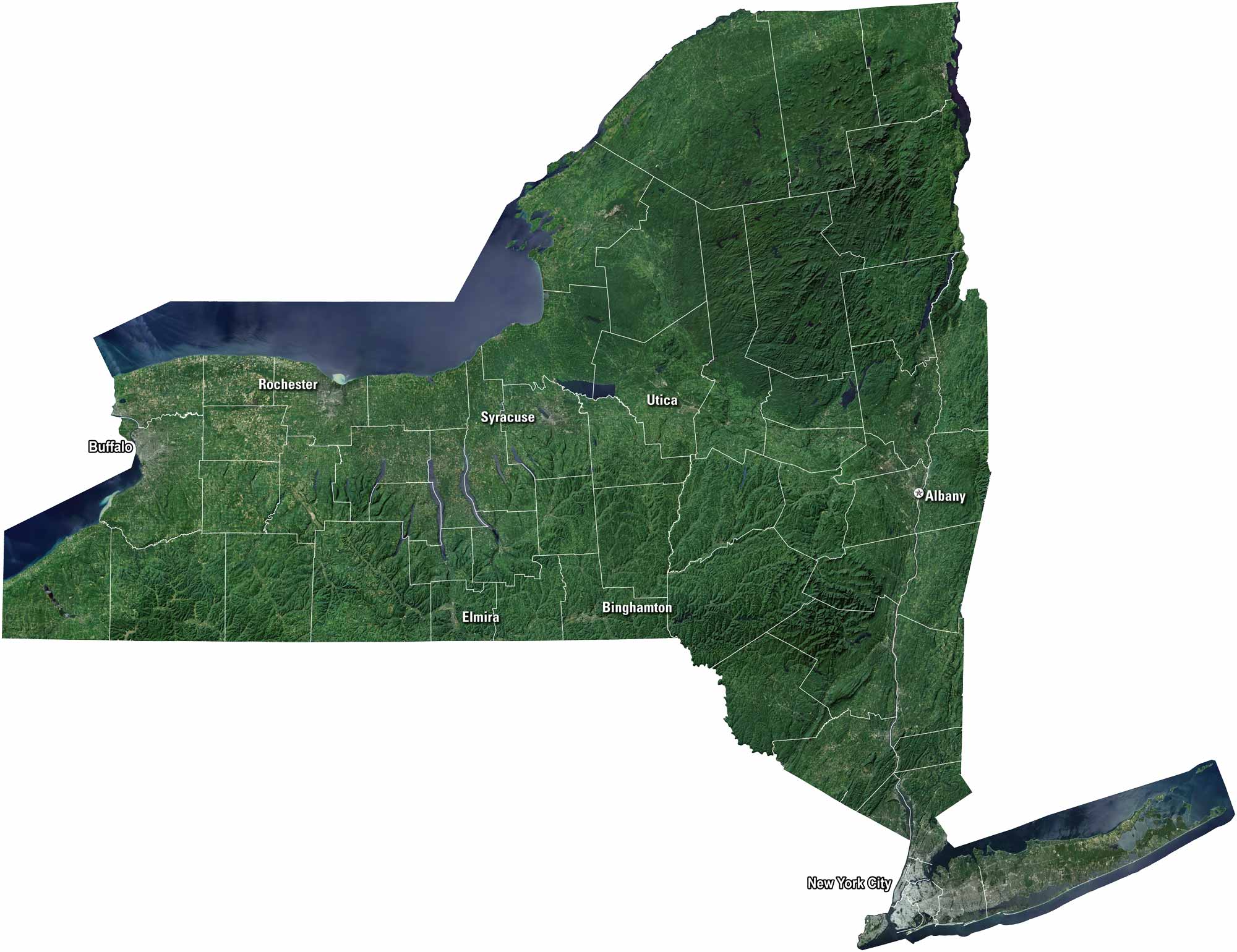
Our satellite map shows rivers like the Hudson winding through valleys. The state of New York is known as the Empire State because of its influence and diversity. Skyscrapers rise over New York City, but forests and lakes stretch across the Adirondacks. Buffalo, Rochester, and Syracuse anchor the western part of the state.
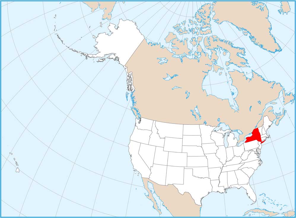
Map Information
On the Map
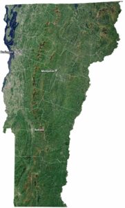
Neighboring State Maps
Find satellite map of neighboring states