Map of New Albany, Indiana
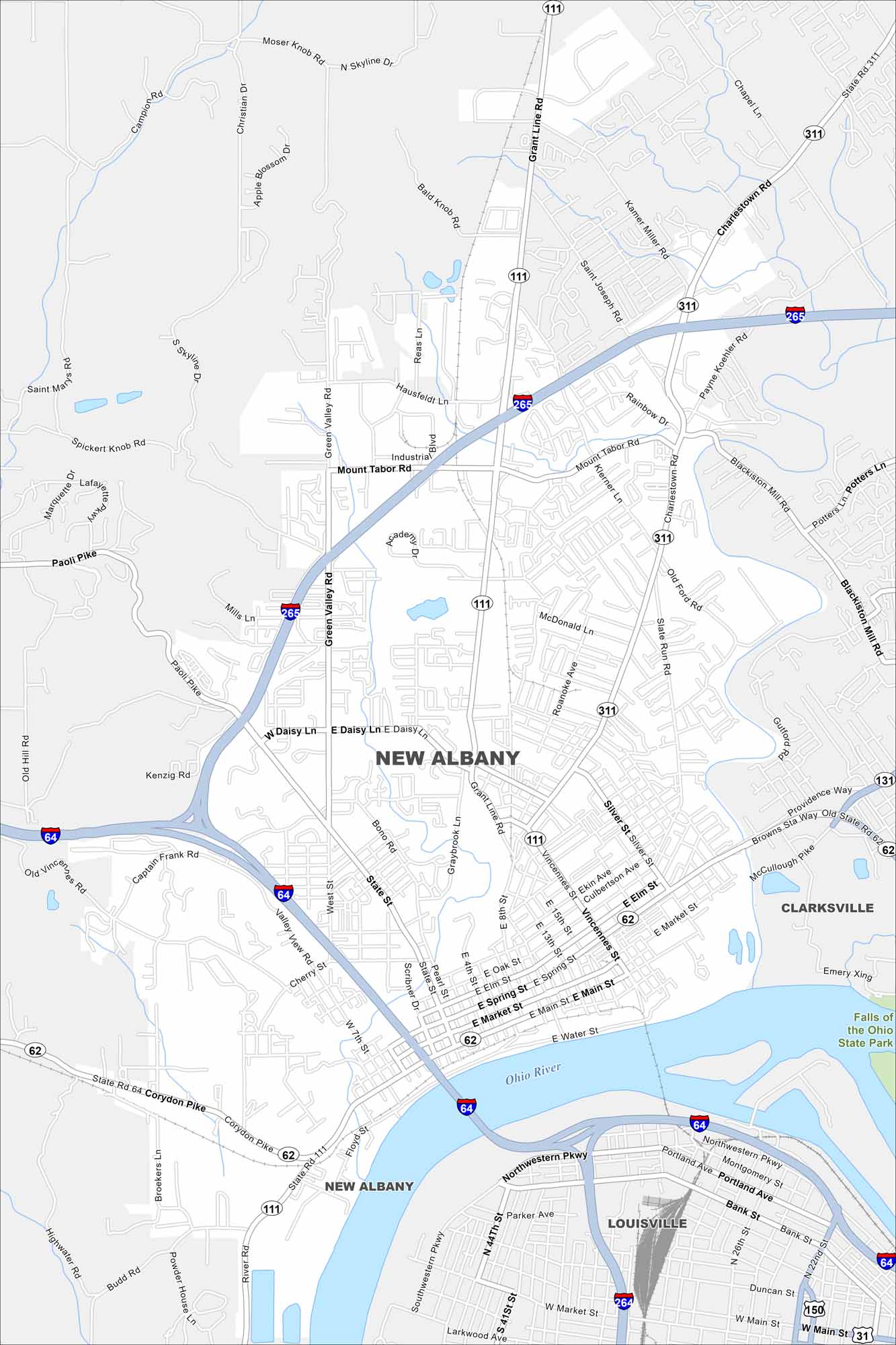
Our map of New Albany shows this city located on the Ohio River across from Louisville. Downtown sits by the riverfront, with neighborhoods rising into the hills.
Indiana State Maps
Study about Indiana with our map collection


Map Information
On the Map
Interstates/Highways: I-64, I-265, US Hwy 150, State Rte 62, State Rte 64, State Rte 111, State Rte 131, State Rte 311 Major Roads: Main St, Market St, Spring St, Elm St, Oak St, Vincennes St, Grant Line Rd, Charlestown Rd, Paoli Pike, Corydon Pike, Green Valley Rd, State St, Daisy Ln, West St, Silver St, Slate Run Rd, Mt Tabor Rd, McDonald Ln, Captain Frank Rd, Cherry St Major Rivers: Ohio River Parks and Preserves: Falls of the Ohio State Park Nearby Communities: Clarksville, LouisvilleIndiana City Maps
Here are our maps of Indianapolis and Indiana cities


