Map of Natchitoches, Louisiana
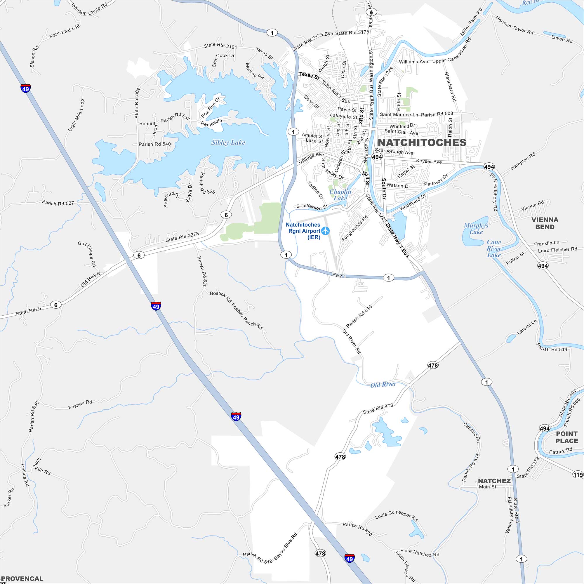
See Natchitoches on our map, set along the Cane River. The historic district lines the riverfront, while newer neighborhoods spread inland. It’s the oldest permanent settlement in Louisiana.
Louisiana State Maps
Here are maps showcasing the state of Louisiana


Map Information
On the Map
Interstates/Highways: I-49, State Rte 1, State Rte 6, State Rte 119, State Rte 478, State Rte 494, State Rte 1223, State Rte 1224, State Rte 3175, State Rte 3191, State Rte 3278 Major Roads: University Pkwy, Keyser Ave, Jefferson St, Washington St, Texas St, Williams Ave, South Dr, Parkway Dr, Old River Rd, Main St, Blanchard Rd, Tarlton Dr, Fairgrounds Rd, 2nd St, 3rd St, 5th St, Amulet St, College Ave, Bayou Blue Rd, Flora Natchez Rd Airports: Natchitoches Rgnl Airport (IER) Lakes and Reservoirs: Sibley Lake, Chaplin Lake, Murphys Lake, Cane River Lake Major Rivers: Red River, Old River Nearby Communities: Vienna Bend, Point Place, Natchez, ProvencalCity Maps of Louisiana
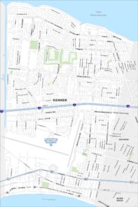
Explore New Orleans and Louisiana’s urban centers with our city maps