Map of Muncie, Indiana
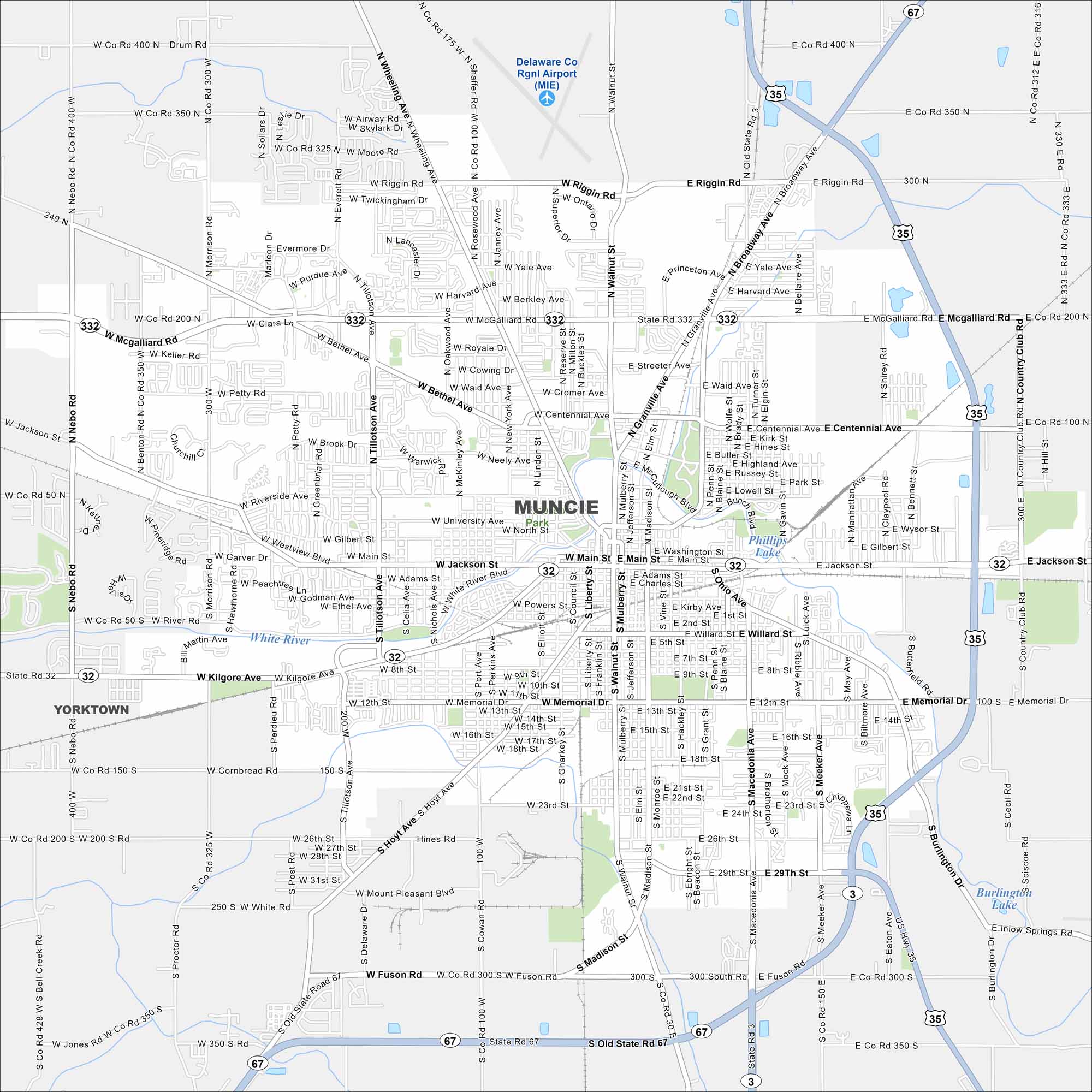
Muncie is mapped out with Ball State University at its center. Surrounding it are neighborhoods, parks, and an industrial past that still shapes the city today.
Indiana State Maps
Study about Indiana with our map collection


Map Information
On the Map
Interstates/Highways: US Hwy 35, State Rte 3, State Rte 32, State Rte 67, State Rte 332 Major Roads: McGalliard Rd, Main St, Jackson St, Memorial Dr, Madison St, Walnut St, Wheeling Ave, Tillotson Ave, Riggin Rd, Centennial Ave, University Ave, Kilgore Ave, 29th St, Hoyt Ave, Burlington Dr, Nebo Rd, Morrison Rd, Broadway Ave, Macedonia Ave, Muncie Bypass Airports: Delaware Co Rgnl Airport (MIE) Lakes and Reservoirs: Phillips Lake, Burlington Lake Major Rivers: White River Nearby Communities: YorktownIndiana City Maps
Here are our maps of Indianapolis and Indiana cities


