Map of Montgomery, Alabama
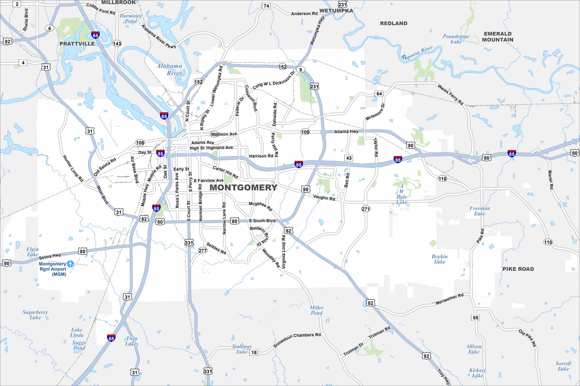
Our map of Montgomery shows its highways, waterways, parks and lakes. The city is central to both state politics and civil rights history. Government buildings, historic districts, and modern neighborhoods all take center stage.


Map Information
On the Map
Interstates/Highways: I-65, I-85, US Hwy 31, US Hwy 80, US Hwy 82, US Hwy 231, State Rte 110, State Rte 271 Major Roads: Eastern Blvd, Southern Blvd, Northern Blvd, Mobile Hwy, Troy Hwy, Atlanta Hwy, Vaughn Rd, Taylor Rd, Ray Thorington Rd, Woodmere Blvd, Perry Hill Rd, Carmichael Rd, Zelda Rd, Carter Hill Rd, McGehee Rd, Norman Bridge Rd, Air Base Blvd, Day St, Commerce St, Dexter Ave Airports: Montgomery Regional Airport (MGM) Lakes and Reservoirs: Boykin Lake, AW Dale Lake Rivers and Creeks: Alabama River, Tallapoosa River Nearby Communities: Pike Road, Millbrook, Prattville, Wetumpka, Emerald Mountain, RedlandAlabama City Maps
Here are our city maps of Alabama


