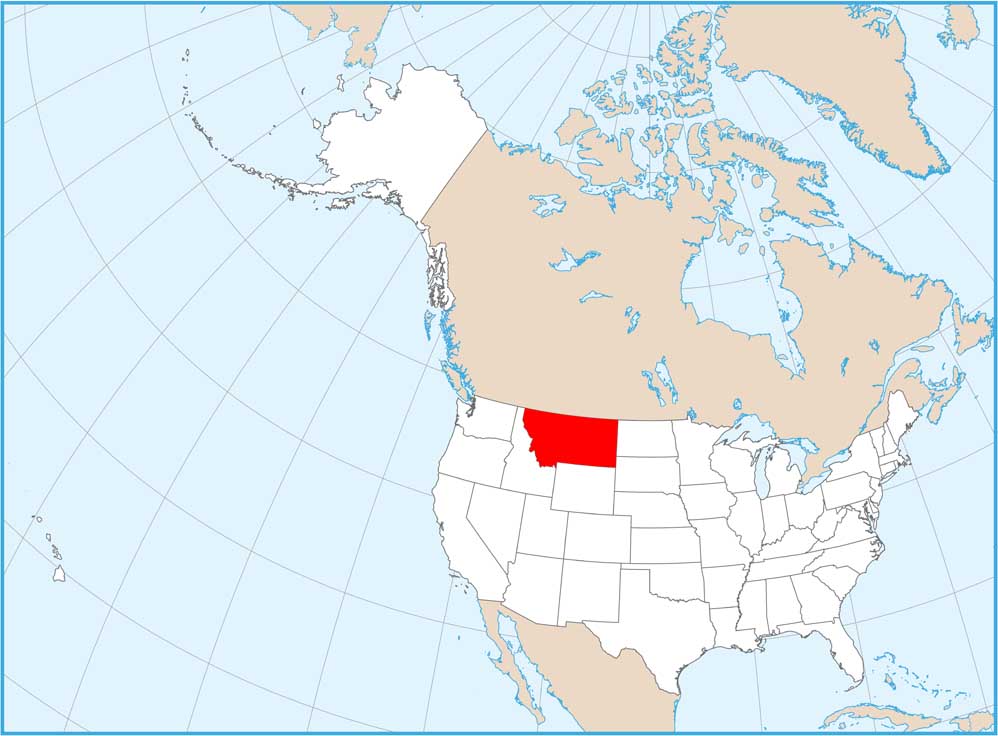
Montana National Parks and Forests Map
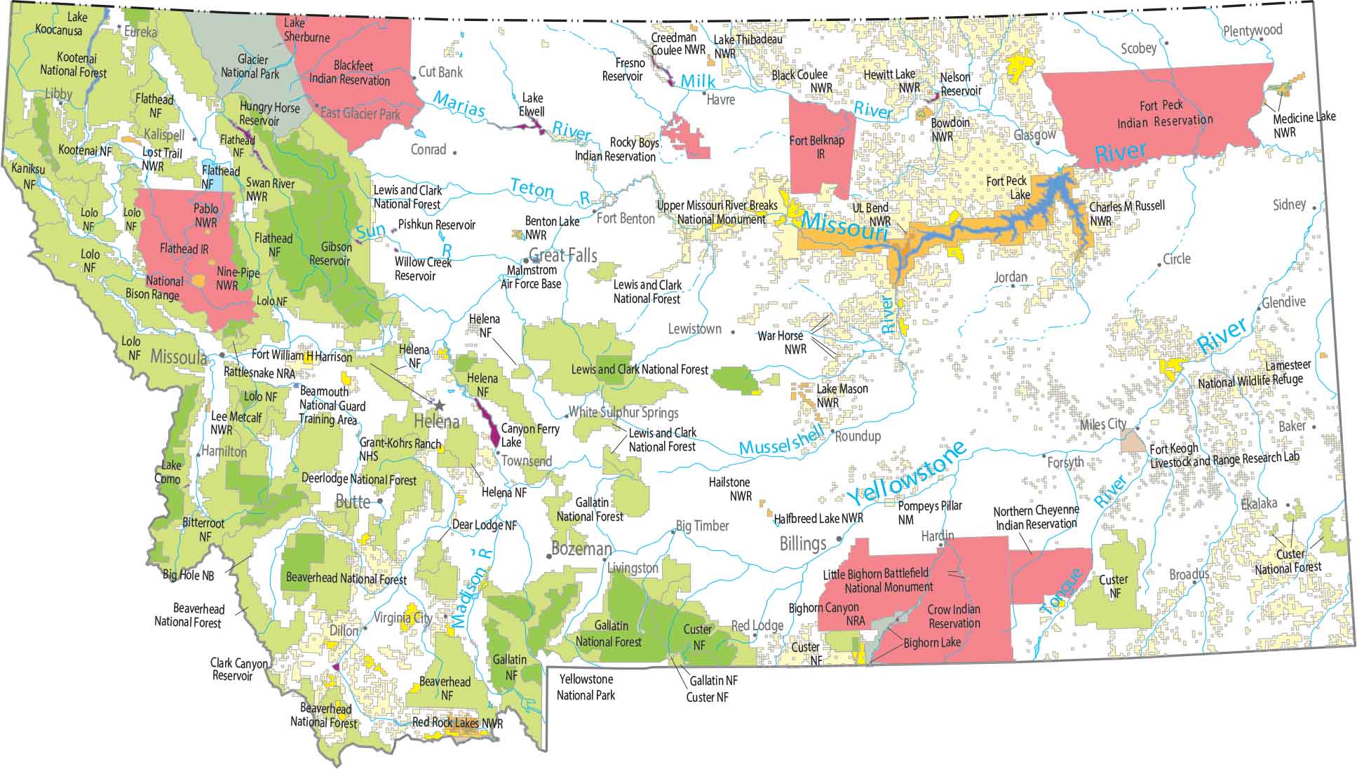
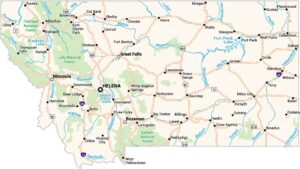
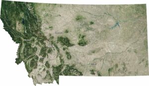
Montana is split between the Rocky Mountains in the west and the Great Plains in the east. Our map shows Glacier National Park pressed against the Canadian border. Yellowstone’s northern edge also crosses into the state. Flathead, Lewis and Clark, Lolo, Bitterroot, Kootenai, and Custer Gallatin are the main national forests.
Map Information
On the Map
Parks, Forests and Federal Lands
National Parks (NP): Glacier National Park, Yellowstone National Park National Forests (NF): Beaverhead NF, Bighorn Lake Custer NF, Bitterroot NF, Custer NF, Deer Lodge NF, Flathead NF, Gallatin NF, Helena NF, Helena NF, Kaniksu NF, Kootenai NF, Lewis and Clark NF, Lolo NF National Wildlife Refuges (NWR): Benton Lake NWR, Black Coulee NWR, Bowdoin NWR, Charles M Russell NWR, Creedman Coulee NWR, Hailstone NWR, Halfbreed Lake NWR, Hewitt Lake NWR, Lake Mason NWR, Lake Thibadeau NWR, Lamesteer NWR, Lee Metcalf NWR, Lost Trail NWR, Medicine Lake NWR, Nine-Pipe NWR, Pablo NWR, Red Rock Lakes NWR, Swan River NWR, UL Bend NWR, War Horse NWR Research Facilities: Centennial Mountains Sheep Experimental Station, Fort Keogh Livestock and Range Research Lab National Recreational Areas (NRA): Bighorn Canyon NRA, Rattlesnake NRA Landmarks in Montana: Big Hole National Battlefield, Grant-Kohrs Ranch NHS, Little Bighorn Battlefield NM, Pompeys Pillar NM, Upper Missouri River Breaks NM Indian Reserves (IR): Blackfeet IR, Crow IR, Flathead IR, Fort Belknap IR, Fort Peck IR, Northern Cheyenne IR, Rocky Boys IR Army, Naval and Military: Bearmouth National Guard Training Area, Fort William H Harrison, Malmstrom Air Force BaseLand Information
State Capital: Helena Major Cities: Billings, Bozeman, Great Falls, Missoula Cities and Towns: Baker, Big Timber, Broadus, Butte, Circle, Conrad, Cut Bank, Dillon, East Glacier Park, Ekalaka, Eureka, Forsyth, Fort Benton, Glasgow, Glendive, Hamilton, Hardin, Havre, Jordan, Kalispell, Lewistown, Libby, Livingston, Miles City, Plentywood, Red Lodge, Roundup, Scobey, Sidney, Townsend, Virginia City, White Sulphur Springs Lakes and Reservoirs: Canyon Ferry Lake, Clark Canyon Reservoir, Fort Peck Lake, Fresno Reservoir, Gibson Reservoir, Hungry Horse Reservoir, Lake Como, Lake Elwell, Lake Koocanusa, Lake Sherburne, Nelson Reservoir, Pishkun Reservoir, Willow Creek Reservoir Rivers and Streams: Madison River, Milk River, Missouri River, Musselshell River, River Marias, Sun River, Teton River, Tongue River, Yellowstone RiverMontana State Maps
Wander through this wide-open state with our map collection.