Map of Monmouth, Oregon
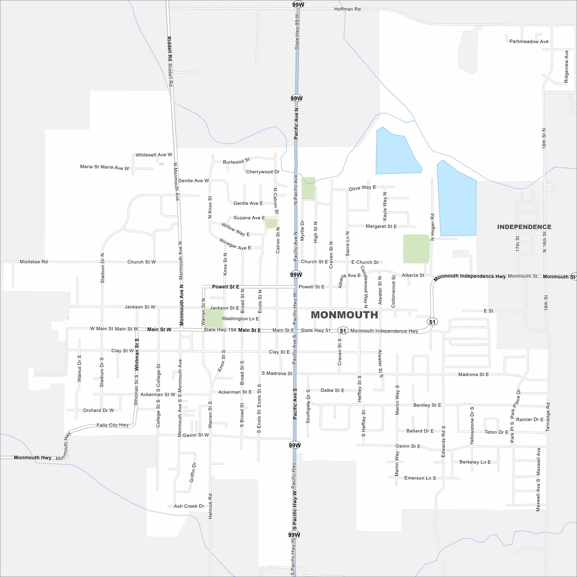
Monmouth sits in Oregon’s Willamette Valley. Our map highlights its small-town grid and nearby farmland. Western Oregon University anchors the city.
Map Information
On the Map
Interstates/Highways: State Hwy 51, State Hwy 99W Major Roads: Main St, Pacific Ave, Monmouth Independence Hwy, Powell St, Jackson St, Clay St, Ackerman St, Gwinn St, Riddell Rd, Monmouth Ave, Hoffman Rd, 16th St, Stadium Dr, College St, Madrona St, Talmadge Rd, Helmick Rd, Southgate Dr, Heffley St, Martin Way Nearby Communities: IndependenceOregon State Maps
Here is our state map collection of Oregon.


City Maps of Oregon
Get to know Portland and Oregon’s urban areas.


