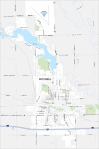
Map of Mitchell, South Dakota
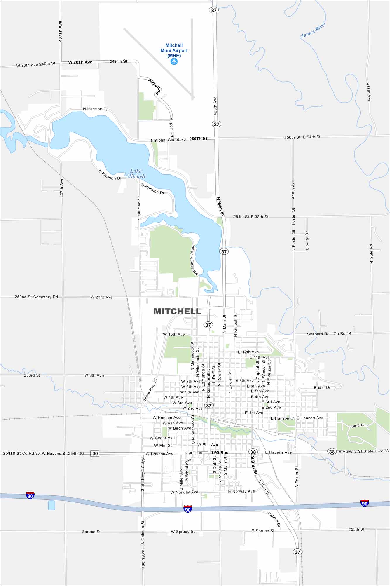
Our map of Mitchell highlights a compact city along Interstate 90. Residential streets spread outward from downtown. Both Lake Mitchell and its municipal airport occupies the northern section.
Map Information
On the Map
Interstates/Highways: I-90, US Hwy 14, State Rte 37, State Rte 38, State Rte 30 Major Roads: Main St, Havens Ave, Sanborn Blvd, Spruce St, Ohlman St, Burr St, Duff St, Rowley St, Foster St, 23rd Ave, 15th Ave, 1st Ave, 8th Ave, Minnesota St, Kimball St, Lawler St, Miller Ave, Norway Ave, Harmon Dr, Cabela Dr Airports: Mitchell Muni Airport (MHE) Lakes and Reservoirs: Lake Mitchell Major Rivers: James RiverSouth Dakota State Maps
View maps from the prairies to the Black Hills.
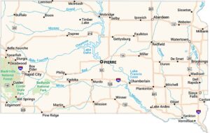


City Maps of South Dakota
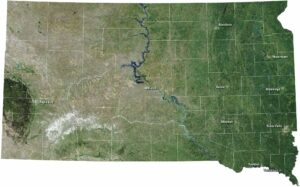
Here’s where South Dakota comes into focus