Map of Mishawaka, Indiana
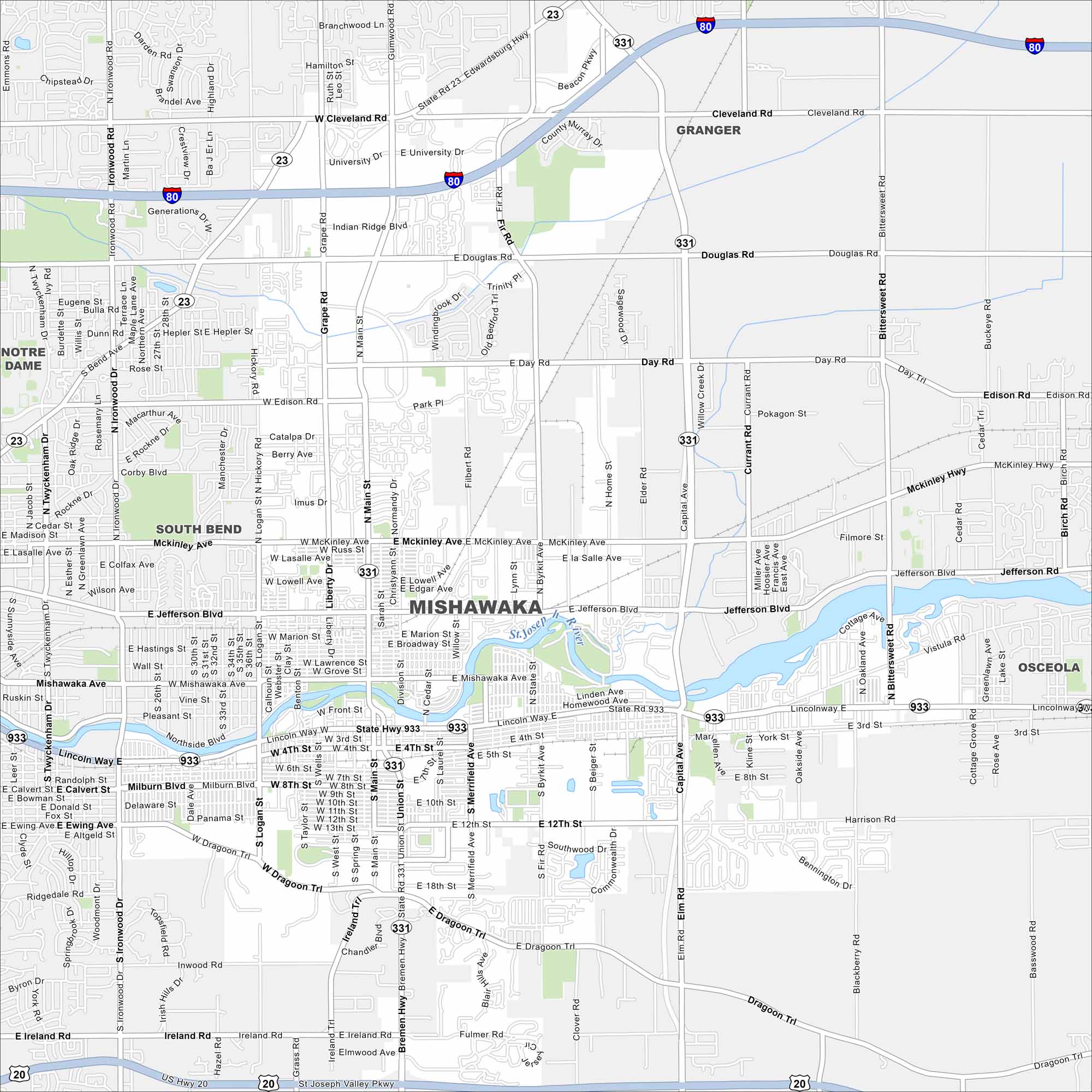
Get to know Mishawaka with our map. This city is located along the St. Joseph River. Downtown streets and parks cluster near the water. It’s closely tied to nearby South Bend.
Indiana State Maps
Study about Indiana with our map collection


Map Information
On the Map
Interstates/Highways: I-80, I-90, US Hwy 20, State Rte 23, State Rte 331, State Rte 933 Major Roads: Main St, Grape Rd, McKinley Ave, Jefferson Blvd, Mishawaka Ave, Lincoln Way, Dragoon Tr, 12th St, Edison Rd, Douglas Rd, Cleveland Rd, Bittersweet Rd, Bremen Hwy, Ironwood Dr, Logan St, Capital Ave, Fir Rd, Union St, Merrifield Ave, Church St Major Rivers: St. Joseph River Nearby Communities: South Bend, Granger, Notre Dame, OsceolaIndiana City Maps
Here are our maps of Indianapolis and Indiana cities


