Map of Medford, Oregon
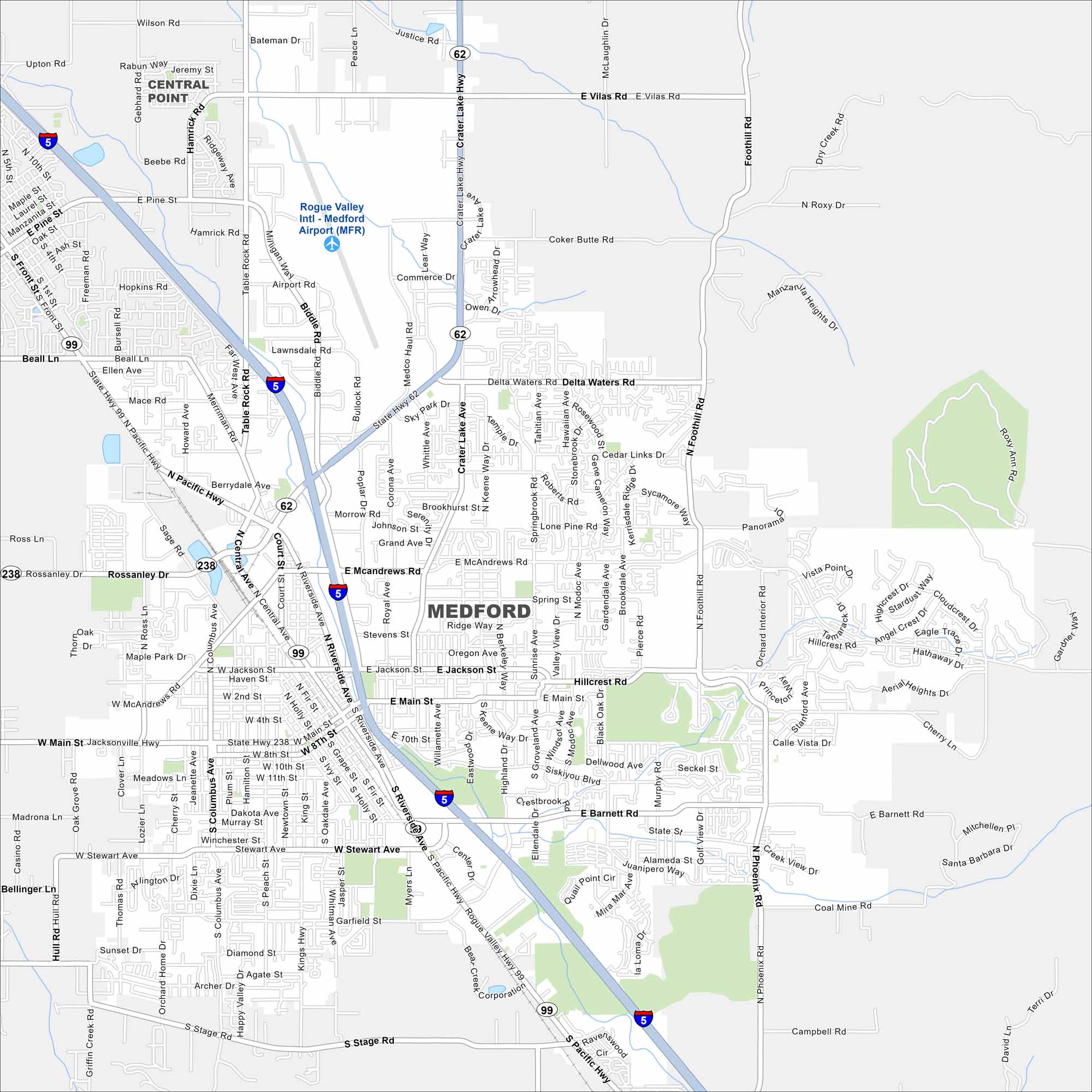
Our map of Medford shows this city tucked in the Rogue Valley. Highways cross through, linking it to Ashland and Grants Pass. Orchards and vineyards surround the area.
Map Information
On the Map
Interstates/Highways: I-5, State Hwy 62, State Hwy 99, State Hwy 238 Major Roads: Main St, Biddle Rd, Crater Lake Hwy, Riverside Ave, Central Ave, Jackson St, McAndrews Rd, Barnett Rd, Stewart Ave, Foothill Rd, Phoenix Rd, Stage Rd, Delta Waters Rd, Table Rock Rd, Rossanley Dr, Northrup Way, Stevens St, 4th St, 8th St, 10th St Airports: Rogue Valley Intl – Medford Airport (MFR) Nearby Communities: Central PointOregon State Maps
Here is our state map collection of Oregon.


City Maps of Oregon
Get to know Portland and Oregon’s urban areas.


