Map of Chicopee, Massachusetts
Look at Chicopee with its mapped highways and riverfront. Located on the Connecticut River, it also includes the Chicopee River.
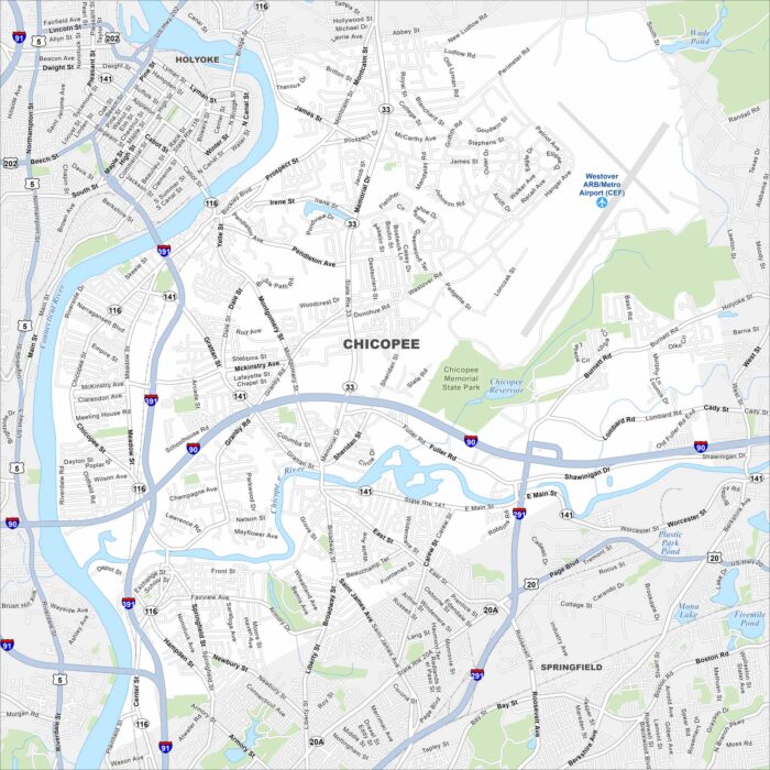
Look at Chicopee with its mapped highways and riverfront. Located on the Connecticut River, it also includes the Chicopee River.
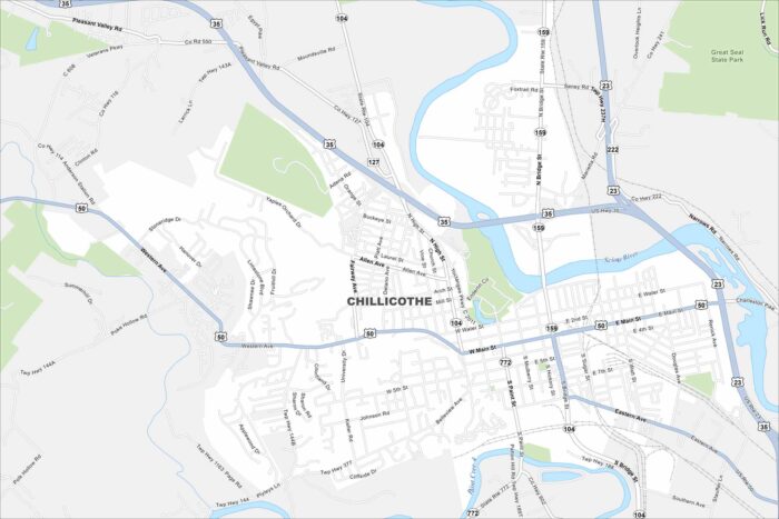
Our map of Chillicothe outlines streets, parks, and the Scioto River. Once the first capital of Ohio, the city is known for its rolling hills.
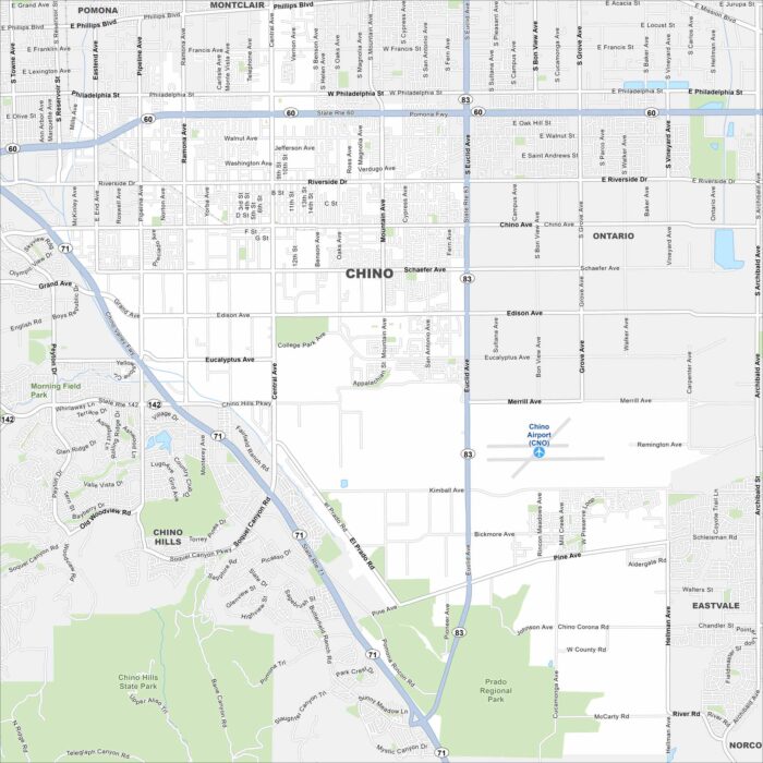
Our map of Chino shows its roads, waterways and airport. Located east of Los Angeles, the city has roots in dairy farming.
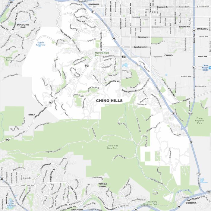
See our map of Chino Hills with its streets, highways, and parkland. This city is set among rolling hills on the edge of the Inland Empire.
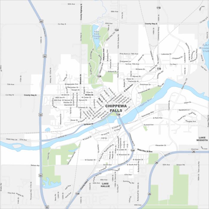
Chippewa Falls lies on the Chippewa River, with bridges tying together its neighborhoods. Lakes and forests spread north of the city.
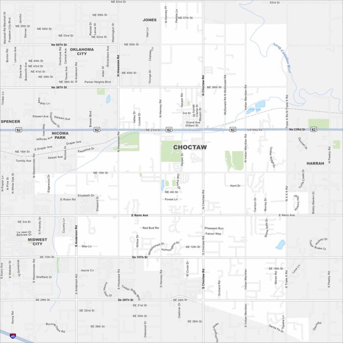
Our map of Choctaw highlights local roads, highways, and neighborhoods. You’ll find it east of Oklahoma City.
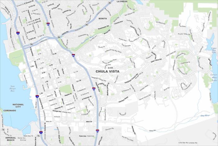
Chula Vista appears with I-805 running north–south while the bayfront spreads westward toward San Diego Bay. See it on our road map.
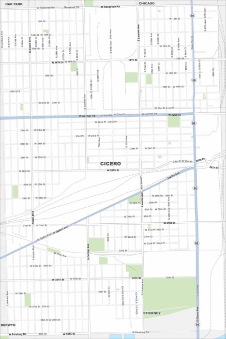
See Cicero with its streets, major highways, and rail lines. Our map puts it just west of Chicago. It has long been an industrial suburb.
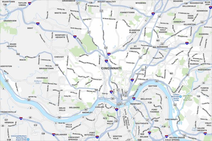
Our map of Cincinnati shows highways, city streets, and the Ohio River curving along downtown. It’s nicknamed the “Queen City”.
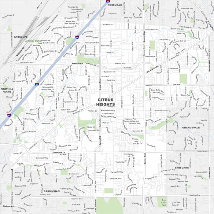
Here’s our map of Citrus Heights displaying its streets, railways, and neighborhoods. It’s part of the larger metro area of Sacramento.
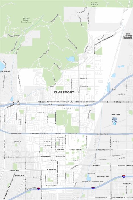
Look at our Claremont map showing its highways and park space. This city sits at the base of the San Gabriel Mountains.
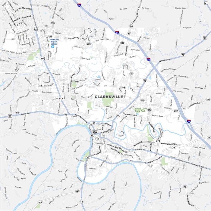
Our map of Clarksville highlights the Cumberland River as it bends through downtown. It’s home to Austin Peay State University.
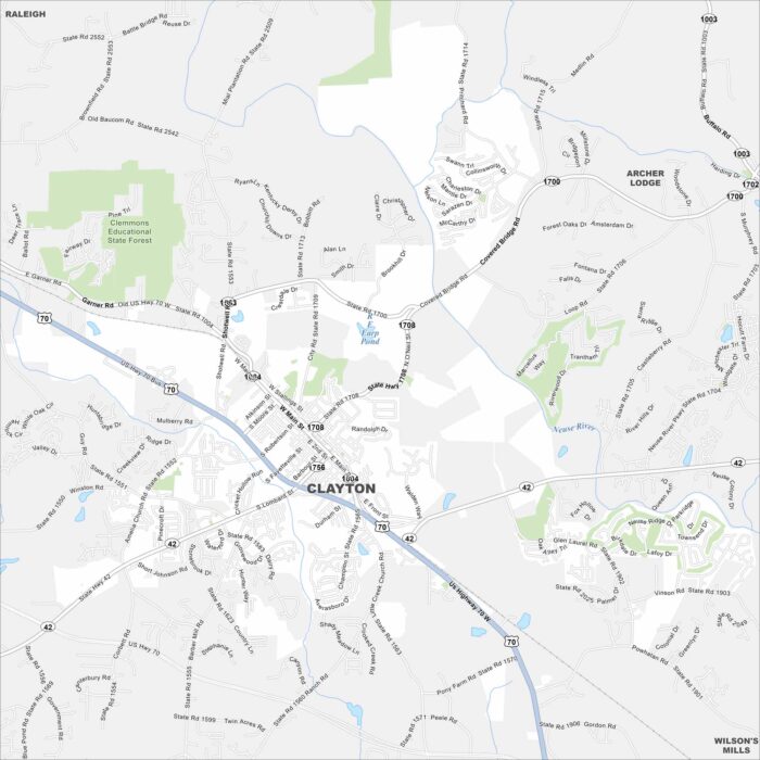
Our Clayton map displays Main Street leading through its small downtown. The town has grown quickly as part of the Research Triangle region.
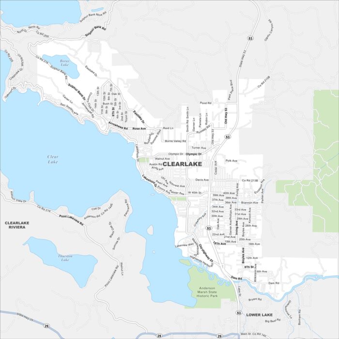
Clearlake spreads along the shoreline of Clear Lake, where Lakeshore Drive hugs the water. Hills and vineyards frame the area.
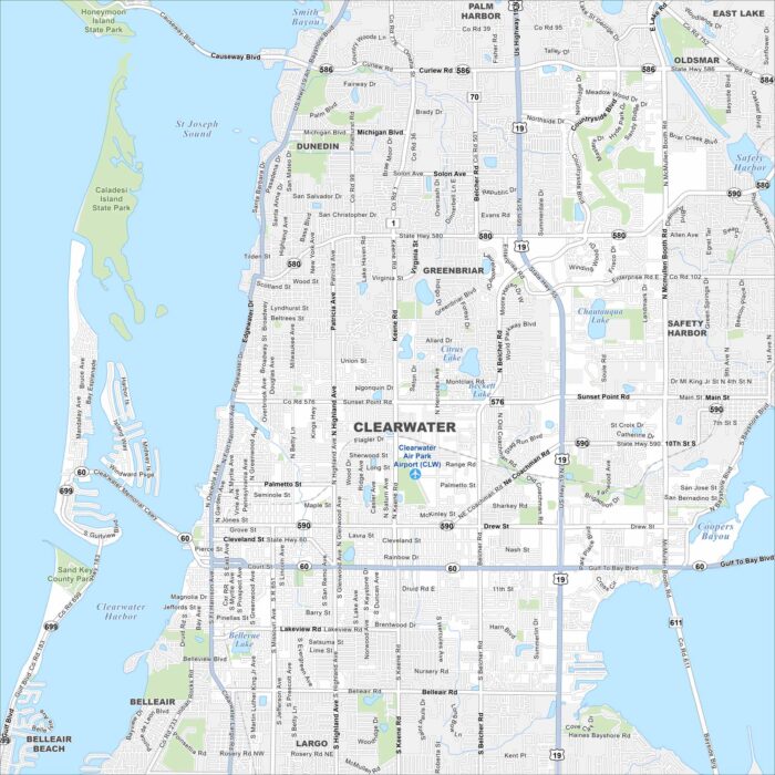
Our map of Clearwater shows streets, highways, and coastal routes. The city is known for its Gulf beaches and barrier islands.