Santa Fe River Map
This map shows the Santa Fe River flowing quietly through northern Florida. Parts of it disappear underground and reemerge miles later.
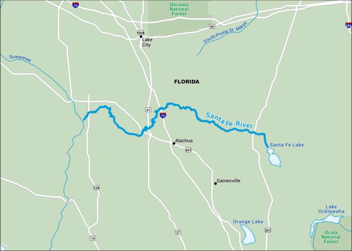
This map shows the Santa Fe River flowing quietly through northern Florida. Parts of it disappear underground and reemerge miles later.
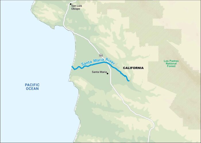
Our map of the Santa Maria River shows where it cuts between the coastal ranges of central California. It’s short but important.
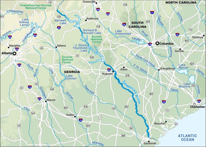
The Savannah River forms much of the border between Georgia and South Carolina. Our map shows how it winds from the foothills to the coast.
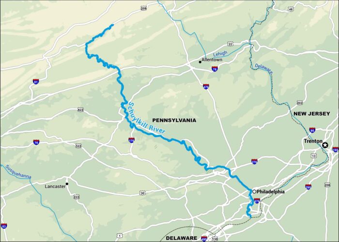
Our map of the Schuylkill River runs right through the heart of southeastern Pennsylvania, cutting across small towns and into Philadelphia.
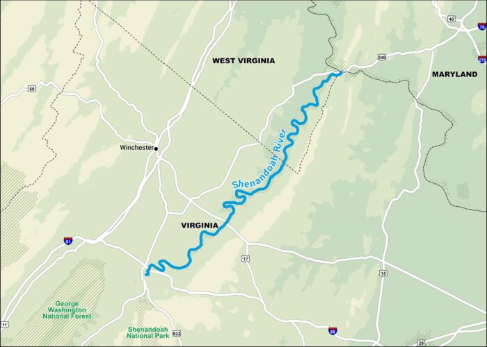
This map shows the Shenandoah winding its way through Virginia and West Virginia. It’s one of those rivers that feels peaceful.
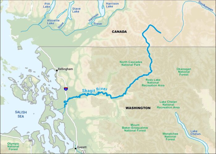
The Skagit River runs from the Cascades down toward Puget Sound. Locals know it for the salmon runs and the way it floods in the spring.
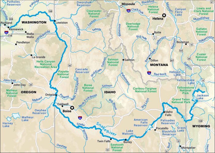
Our map of the Snake River stretches across southern Idaho and beyond. You can follow it for miles and the scenery keeps changing.
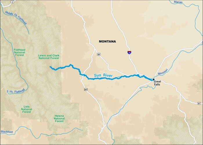
This map of the Sun River shows it rolling out of the Rockies and across open Montana plains. The landscape feels endless out here.

Our map shows the Susquehanna River from New York down to the Chesapeake Bay. It’s a long river with industrial towns and quiet farmland.
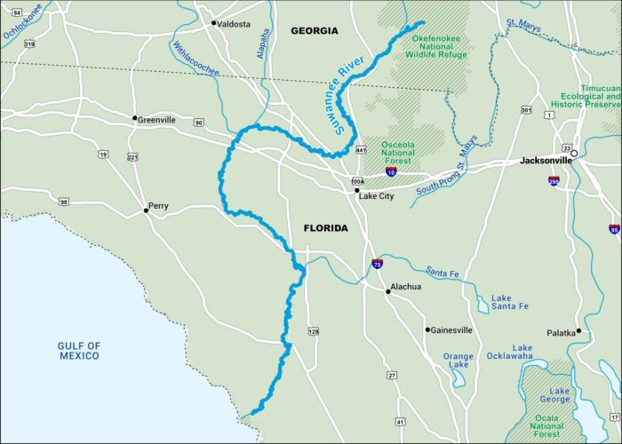
This Suwannee River map takes you from the Okefenokee Swamp all the way to the Gulf. It winds through cypress forests and quiet stretches.
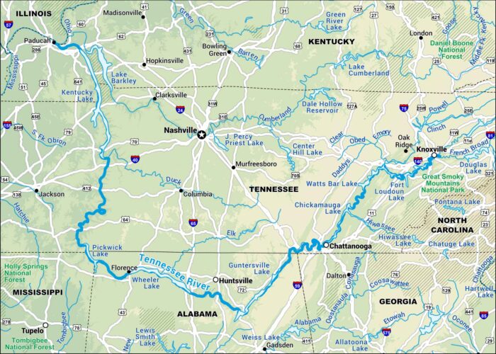
Our map displays the Tennessee River, which runs through Alabama and Tennessee. It cuts through Chattanooga, Knoxville and more.

This Trinity River map centers on North Texas. This river cuts right through Dallas and beyond. You’ll see parks, forests and a bit of wild.
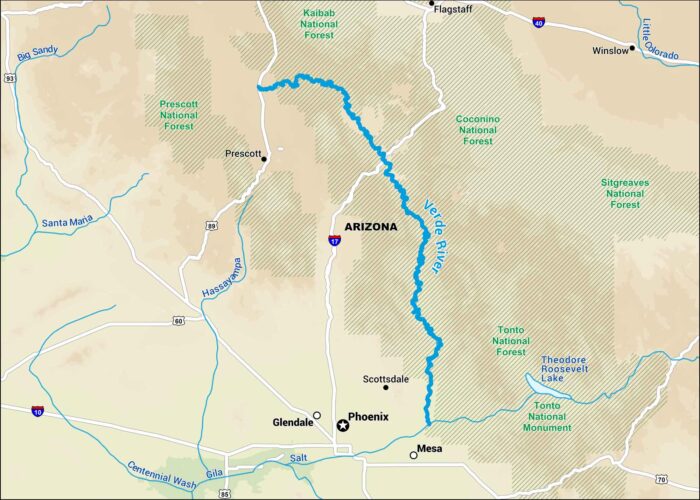
Our map of the Verde River shows one of the few rivers in Arizona that still flows year-round. It winds through the Coconino National Forest.
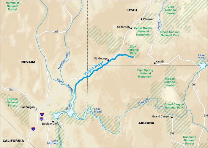
Our map of the Virgin River displays its course through southern Utah’s red rock canyons. It’s the lifeblood of Zion National Park and beyond.
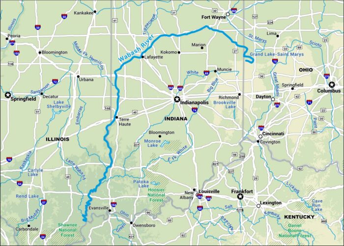
Take a look at our Wabash River map stretching across Indiana. The river moves from Ohio’s border to the Illinois boundary line.