Rappahannock River Map
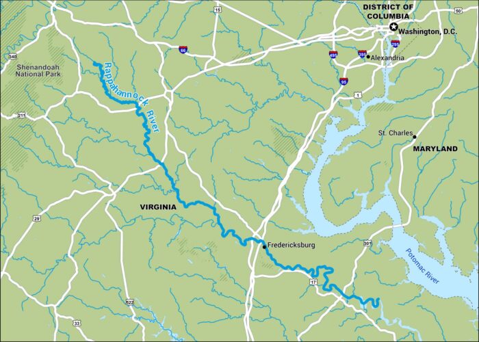
Our map of the Rappahannock River runs from the Blue Ridge and eventually to the Chesapeake Bay. It flows past lots of old Virginia towns.
Our map of the Rappahannock River runs from the Blue Ridge and eventually to the Chesapeake Bay. It flows past lots of old Virginia towns.
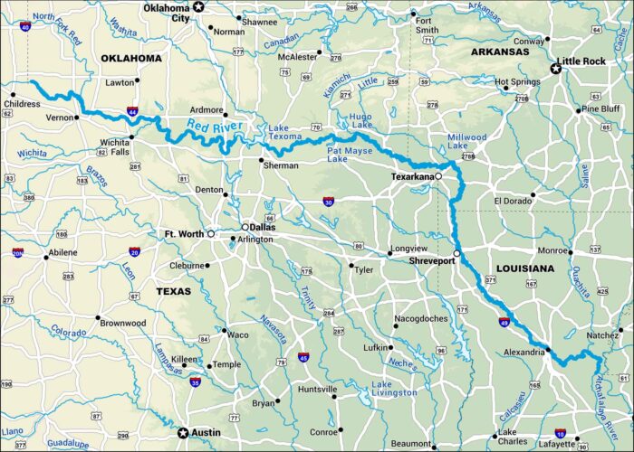
This map shows the Red River stretching between Texas and Oklahoma before turning through Arkansas and Louisiana.
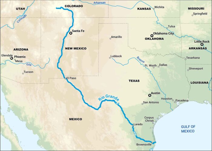
Our map of the Rio Grande follows its long journey from the mountains of Colorado down along the Texas-Mexico border.
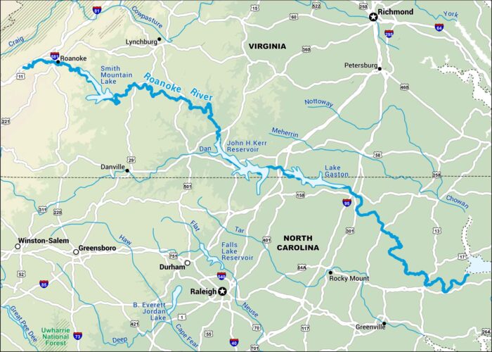
This map displays the Roanoke River from Virginia’s Blue Ridge Mountains down into North Carolina. The river winds through swamps and forests.
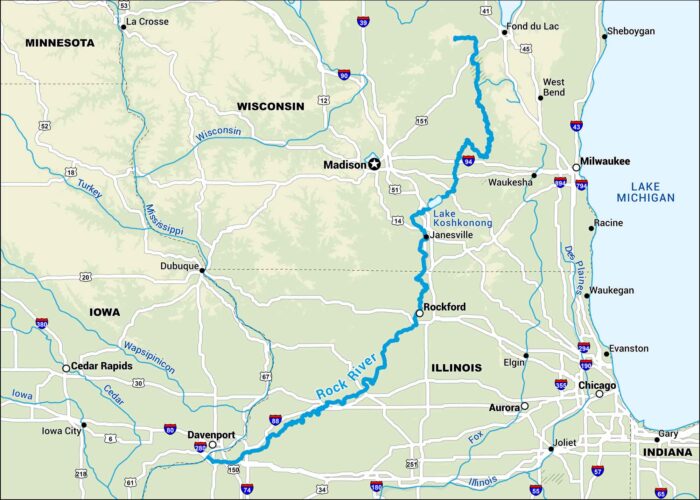
The Rock River flows through Wisconsin and Illinois, and our map shows its steady path toward the Mississippi. It passes towns and farmland.
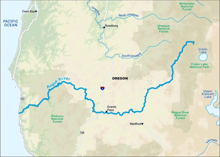
Our map of the Rogue River runs through southern Oregon’s rugged canyons. It’s one of the state’s best-known rivers for rafting and fishing.
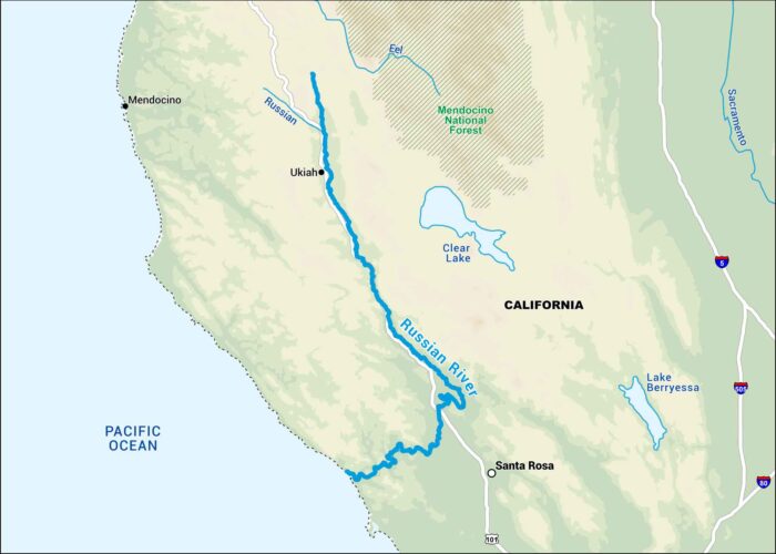
This map follows the Russian River through the hills of northern California. It’s a favorite for weekend getaways from the Bay Area.
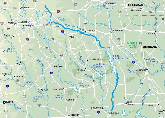
Our map of the Sabine River shows where it separates Texas from Louisiana as it flows down towards the Gulf.
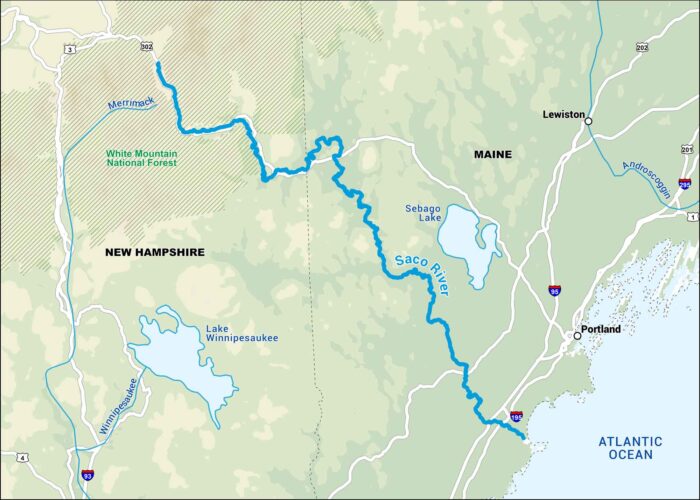
Our map of the Saco River runs from the White Mountains through small towns into southern Maine. It’s a river that ends at the Atlantic Ocean.
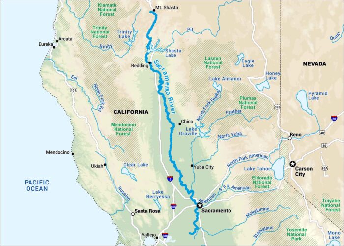
This map shows the Sacramento River stretching from Northern California’s mountains down to the delta near San Francisco Bay.
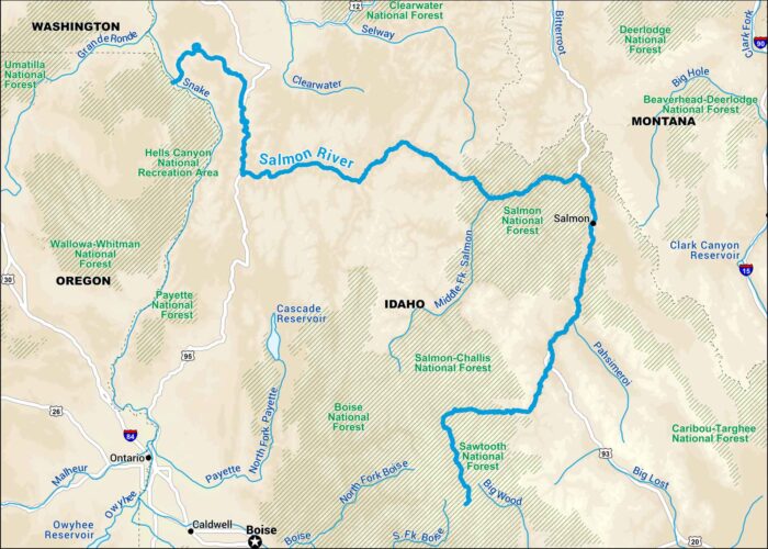
Our map of the Salmon River cuts through the heart of Idaho’s wilderness. Known as “The River of No Return,” it flows through deep canyons.
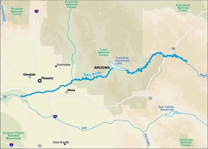
This map highlights the Salt River in central Arizona. It’s a key water source for Phoenix and a favorite spot for recreation.
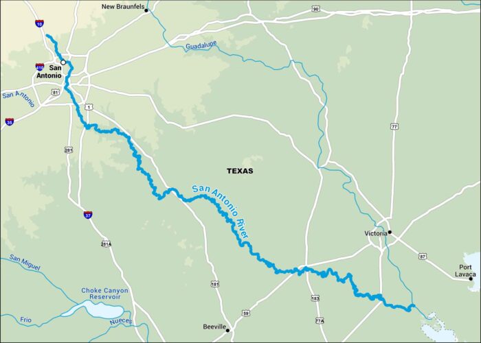
Our map of the San Antonio River follows its path through south-central Texas. It goes right through the heart of San Antonio.
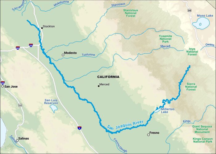
This map shows the San Joaquin River as it runs through California’s Central Valley. It runs by farmland and the Sierra National Forest.
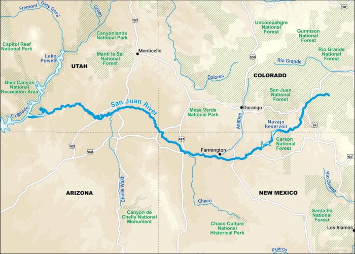
Our map of the San Juan River runs through the red rock country of New Mexico and Utah. It connects with the Colorado River deep in the desert.