US Outline Map
Our US blank map shows state boundaries without any labels or colors. It’s a USA outline map with just the state lines inside.

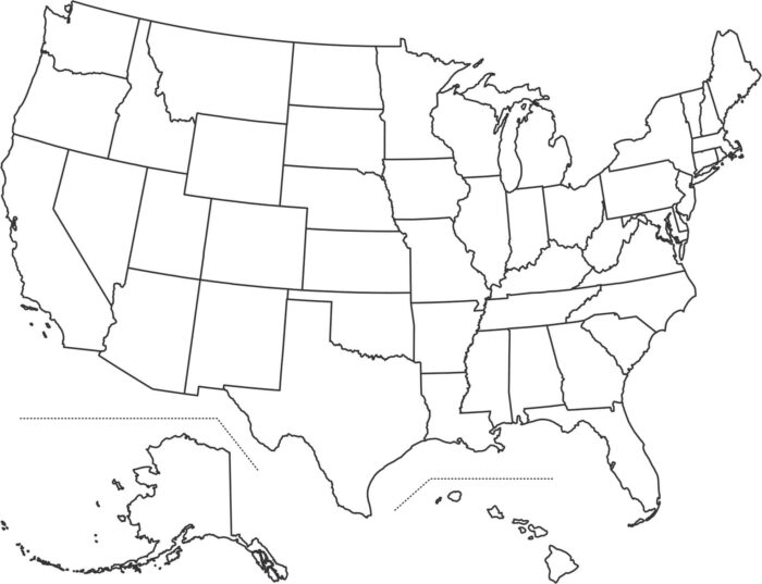
Our US blank map shows state boundaries without any labels or colors. It’s a USA outline map with just the state lines inside.
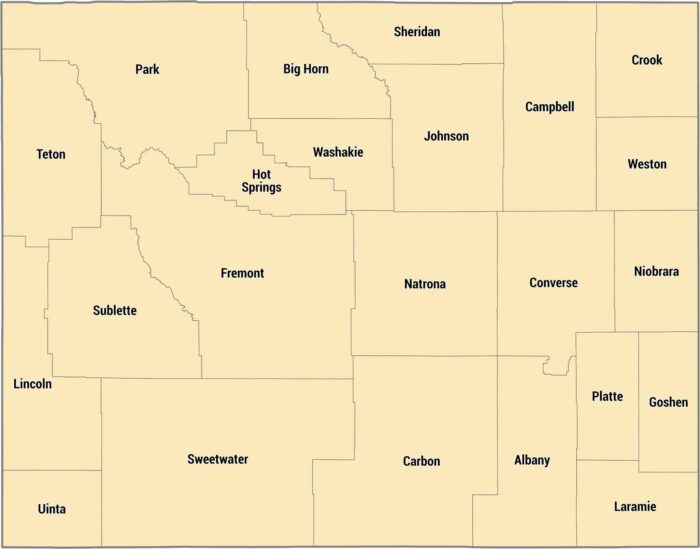
Our Wyoming county map shows its 23 counties. Laramie County down south has Cheyenne, but most counties are incredibly rural.
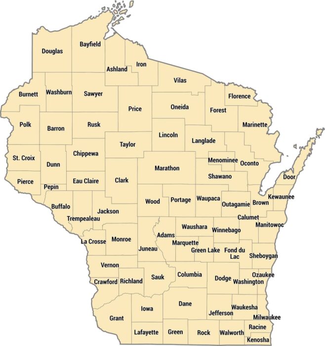
Our map of Wisconsin’s 72 counties shows them shifting in size, across its northern forests, central farmland, and Great Lakes shoreline.
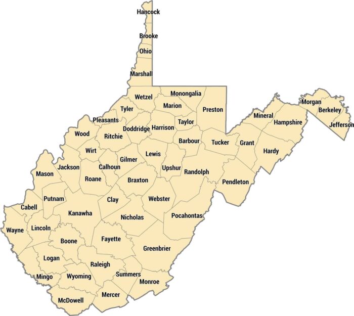
All 55 counties in West Virginia are carved by mountains, hollows, and rivers running through Appalachia, as seen in our county map.
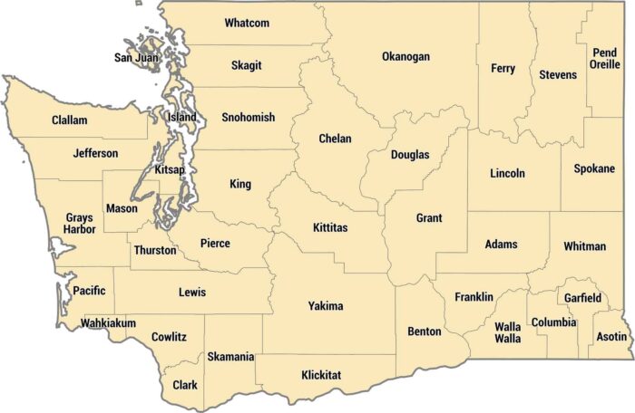
Get to know Washington’s 39 counties. Their shapes vary due to the state’s diverse geography like the Puget and Columbia River.
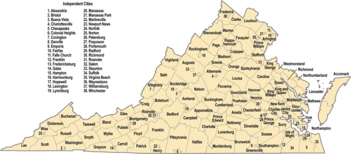
Our Virginia county map shows 95 counties plus 38 independent cities. The boundaries are influenced by the Blue Ridge Mountains in the west.
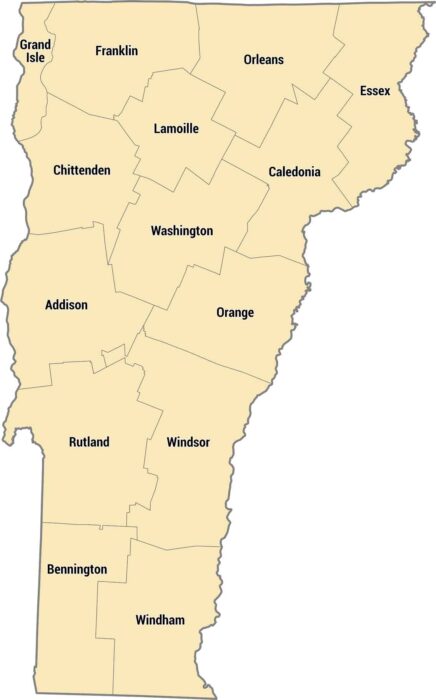
Fourteen counties make up this rural New England state located between New York and New Hampshire. The Green Mountains run down the middle.

There are just 29 counties in Utah. But they cover everything from red rock desert to snowy mountains. Salt Lake County is most populous.
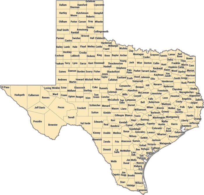
Nothing explains Texas’ size better than a county map. With 254 counties, Texas has more than any other state by far.

Tennessee’s 95 counties stretches from the Appalachians to the Mississippi River. The eastern mountain counties are completely different.
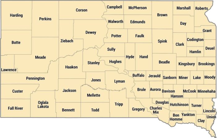
South Dakota’s counties have farmland east and ranch country out west. Minnehaha County has Sioux Falls in the southeast corner.
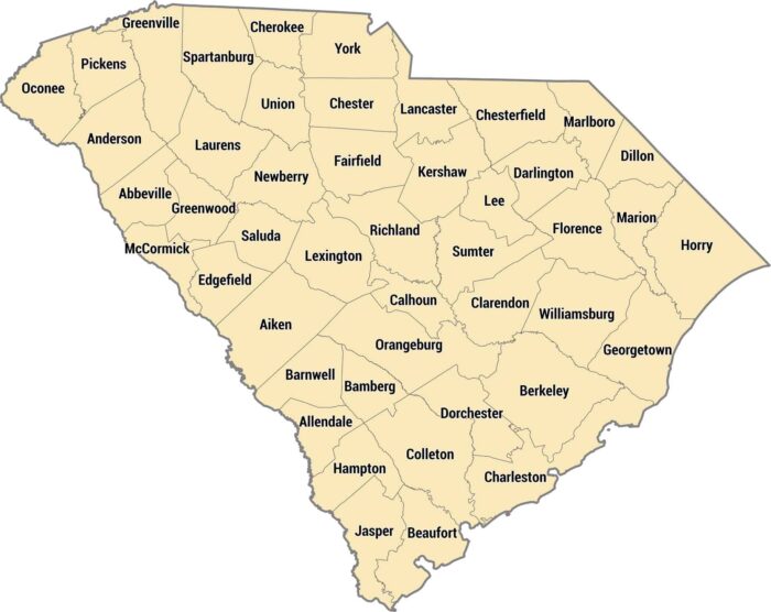
Our South Carolina county map displays 46 counties from the Blue Ridge Mountains to the Atlantic. Lowcountry counties are marshes.
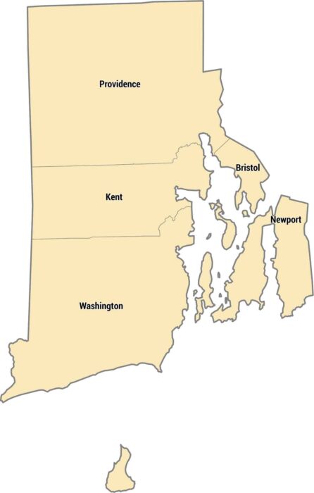
Only 5 counties exist in the smallest state. Rhode Island’s counties cover a small coastal state with bays, islands, and short distances.
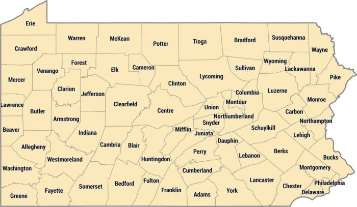
Pennsylvania has 67 counties with Philadelphia as its own county. Allegheny County holds Pittsburgh in the west, including rural counties.
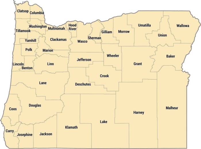
Our county map shows Oregon’s 36 counties. Coastal counties are long and thin, inland counties follow the Willamette River valley.