Map of Ocala, Florida
Take a look at our map of Ocala in north-central Florida. This map shows a spread of neighborhoods and a historic downtown square.

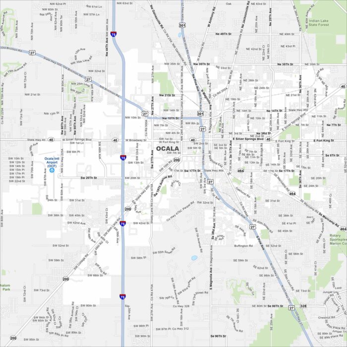
Take a look at our map of Ocala in north-central Florida. This map shows a spread of neighborhoods and a historic downtown square.
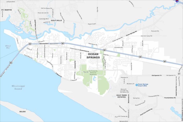
Our map of Ocean Springs outlines a Gulf Coast city east of Biloxi. Its downtown is near the water, while neighborhoods extend inland.
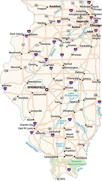
This map of Illinois keeps things clear. Cities, towns, rivers, and lakes are easy to see. Our map makes sense of the Land of Lincoln.
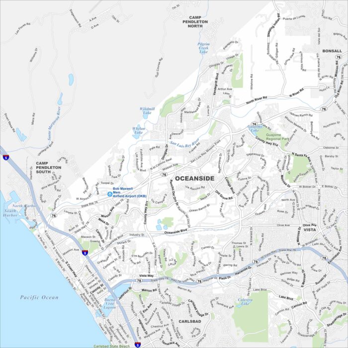
Oceanside sits on the Pacific coast of northern San Diego County. The map shows a long beachfront, a harbor, and a downtown grid.
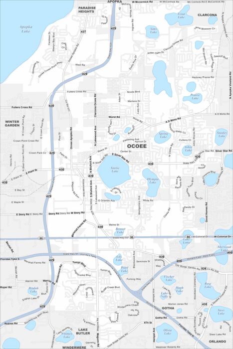
Ocoee lies west of Orlando with neighborhoods clustered around lakes. This map shows suburban developments linked by major highways.
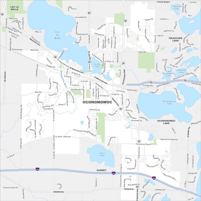
Our map of Oconomowoc highlights a small city surrounded by lakes. The downtown sits between Fowler Lake and Lac La Belle.
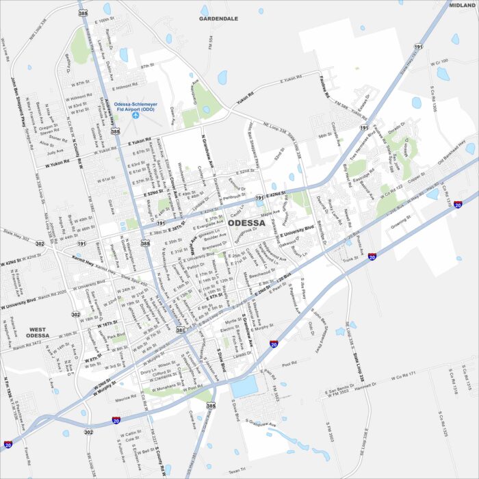
Odessa spreads across the flat Permian Basin of West Texas. This map shows wide roads, highways, and suburban neighborhoods.
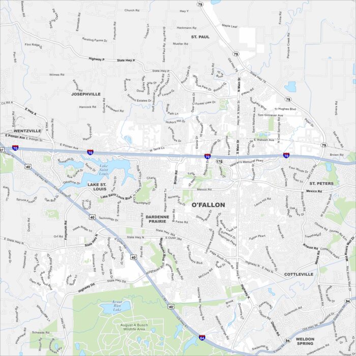
O’Fallon sits west of St. Louis in St. Charles County. Our map shows residential areas, parks, and highways crossing through.
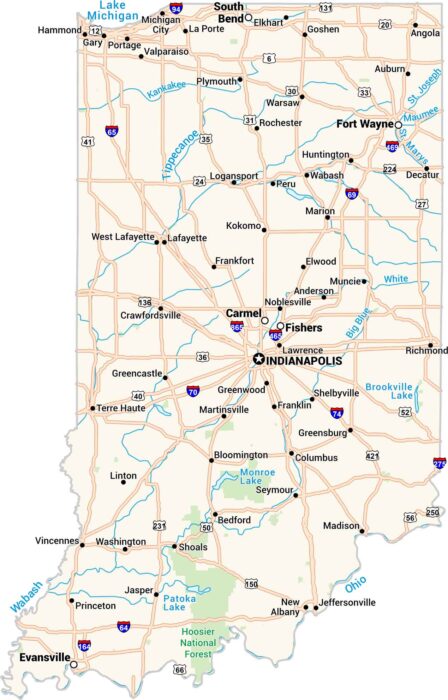
Our map of Indiana shows cities, towns, rivers, and lakes in detail. You can see where the Wabash and Ohio Rivers form its borders.
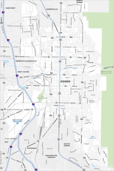
Our map of Ogden shows a city at the foot of the Wasatch Mountains. The downtown grid spreads toward the Great Salt Lake.
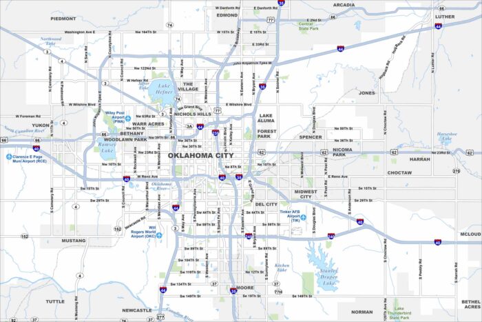
Oklahoma City stretches across the central plains with a wide urban layout. Use our map to see its downtown, parks, and major highways.
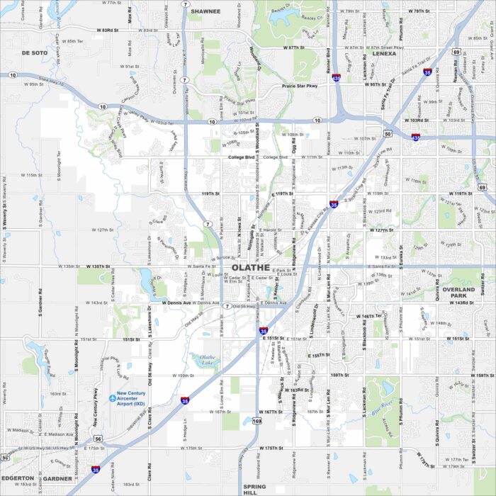
Olathe lies southwest of Kansas City spreading across rolling prairie. Our map highlights highways, lakes, rivers and greenbelts.
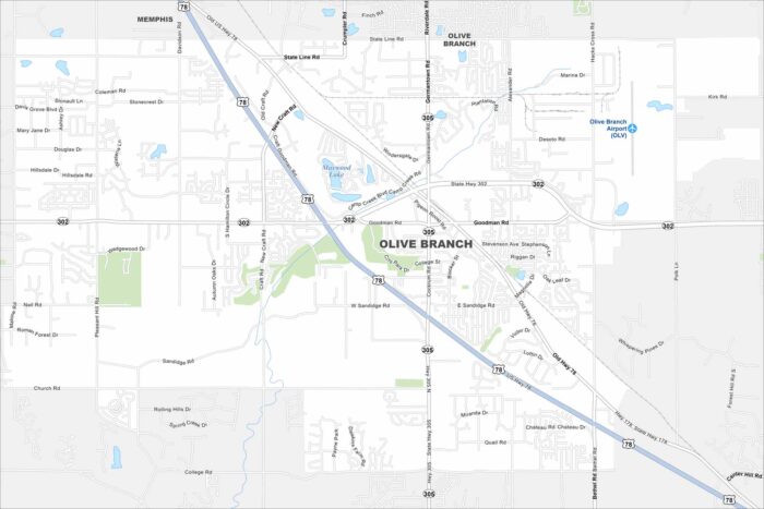
Take a look at Olive Branch just outside Memphis. Our map shows suburban neighborhoods mixed with open farmland.
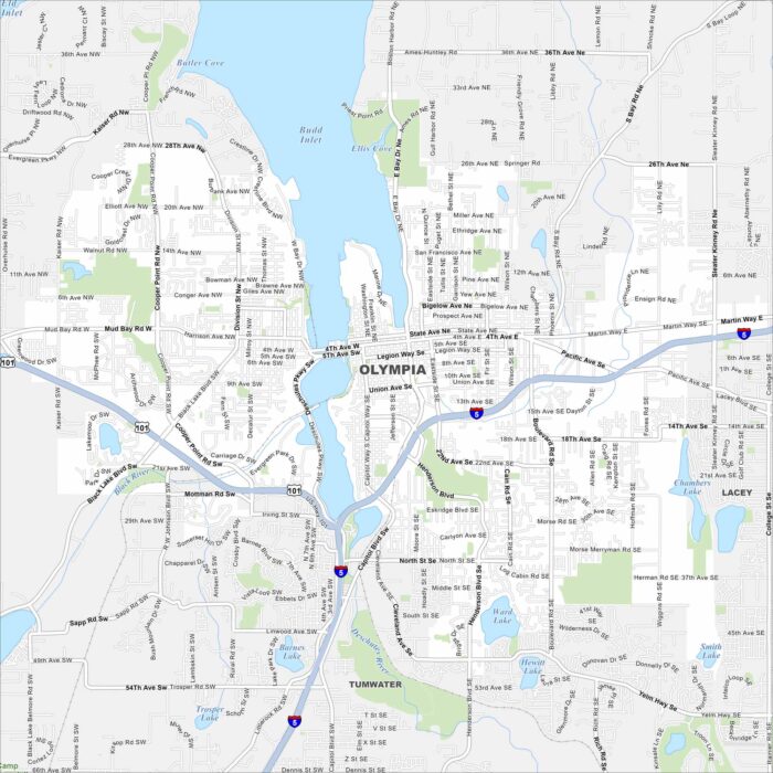
Our map of Olympia outlines Washington’s capital on the southern tip of Puget Sound. Government buildings and marinas cluster near downtown.
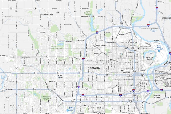
Omaha stretches along the Missouri River with a busy downtown core. Check out this map to see its neighborhoods, highways, and riverfront.