Map of Madison, Alabama
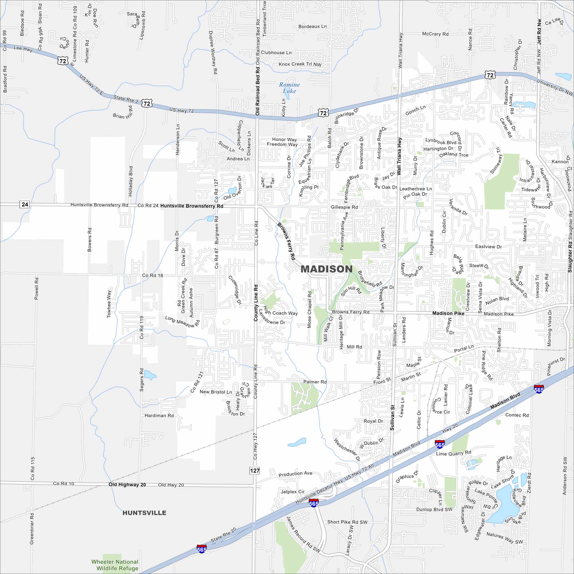
Madison lies west of Huntsville along I-565. Our map shows neighborhoods spreading between highways and creeks. The Tennessee River sits just to the south.


Map Information
On the Map
Interstates/Highways: I-565, US Hwy 72, State Rte 20 Major Roads: Madison Blvd, Wall Triana Hwy, Hughes Rd, Sullivan St, Mill Rd, Balch Rd, County Line Rd, Slaughter Rd, Browns Ferry Rd, Main St, Palmer Rd, Gillespie Rd, Segers Rd, Graphics Dr, Electronics Blvd, Jetplex Blvd, Westchester Dr, Kyser Blvd, Production Ave, Research Blvd Lakes and Reservoirs: Romine Lake Parks/Preserves/Forests: Wheeler National Wildlife Refuge Nearby Communities: HuntsvilleAlabama City Maps
Here are our city maps of Alabama


