Map of Lawrence, Indiana
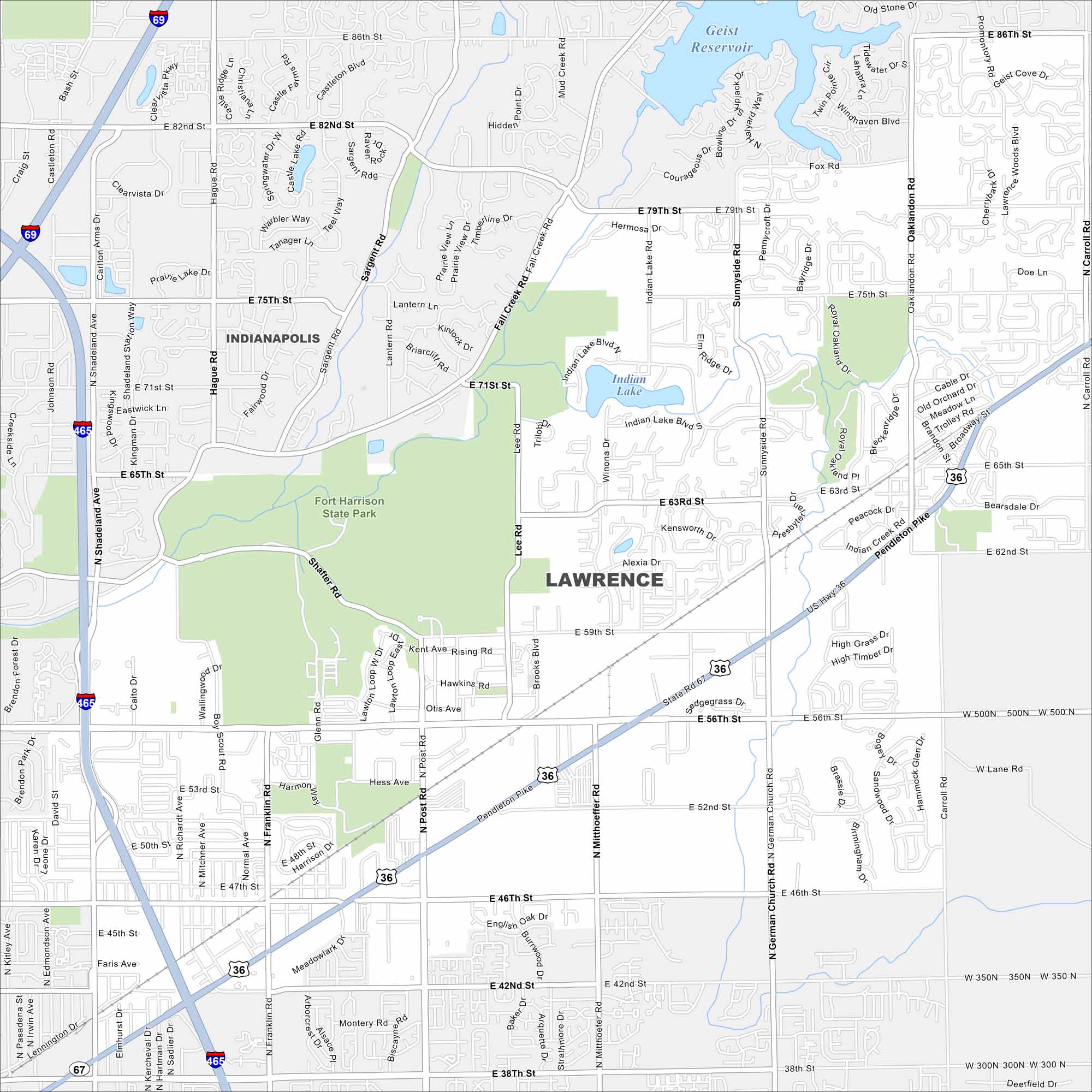
Lawrence appears on the map northeast of Indianapolis. Fort Harrison State Park takes up a large section of the city. Neighborhoods fill in around it.
Indiana State Maps
Study about Indiana with our map collection


Map Information
On the Map
Interstates/Highways: I-69, I-465, US Hwy 36, State Rte 67 Major Roads: Pendleton Pike, 56th St, 46th St, 38th St, 42nd St, 71st St, 75th St, 79th St, 82nd St, Shadeland Ave, Post Rd, Mitthoeffer Rd, German Church Rd, Sunnyside Rd, Oaklandon Rd, Carroll Rd, Lee Rd, Brooks Blvd, Hague Rd, Sargent Rd Lakes and Reservoirs: Geist Reservoir, Indian Lake, Prairie Lake Parks and Preserves: Fort Harrison State Park Nearby Communities: IndianapolisIndiana City Maps
Here are our maps of Indianapolis and Indiana cities


