Map of Lakewood, Washington
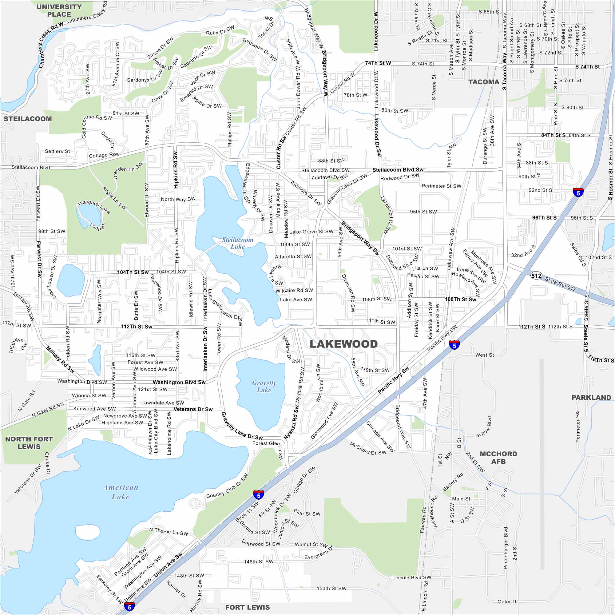
Lakes cover the map all around the city including Steilacoom, American, and Gravelly. Suburban streets travel between them. Finally, Mount Rainier towers to the southeast.
Map Information
On the Map
Interstates/Highways: I-5, State Rte 512 Major Roads: Bridgeport Way, Pacific Hwy, Lakewood Dr, Steilacoom Blvd, Washington Blvd, Gravelly Lake Dr, 74th St W, 84th St S, 100th St SW, 112th St SW, 146th St SW, South Tacoma Way, Military Rd, Pine St, Union Ave, Veterans Dr, Custer Rd, Main St, Hipkins Rd, McChord Dr Lakes and Reservoirs: Steilacoom Lake, Gravelly Lake, American Lake Nearby Communities: University Place, Steilacoom, Tacoma, Parkland, McChord AFB, Fort Lewis, North Fort LewisWashington State Maps
Move through the Evergreen State with our map collection.


City Maps of Washington
Check out our city maps of Washington


