Map of Lafayette, Indiana
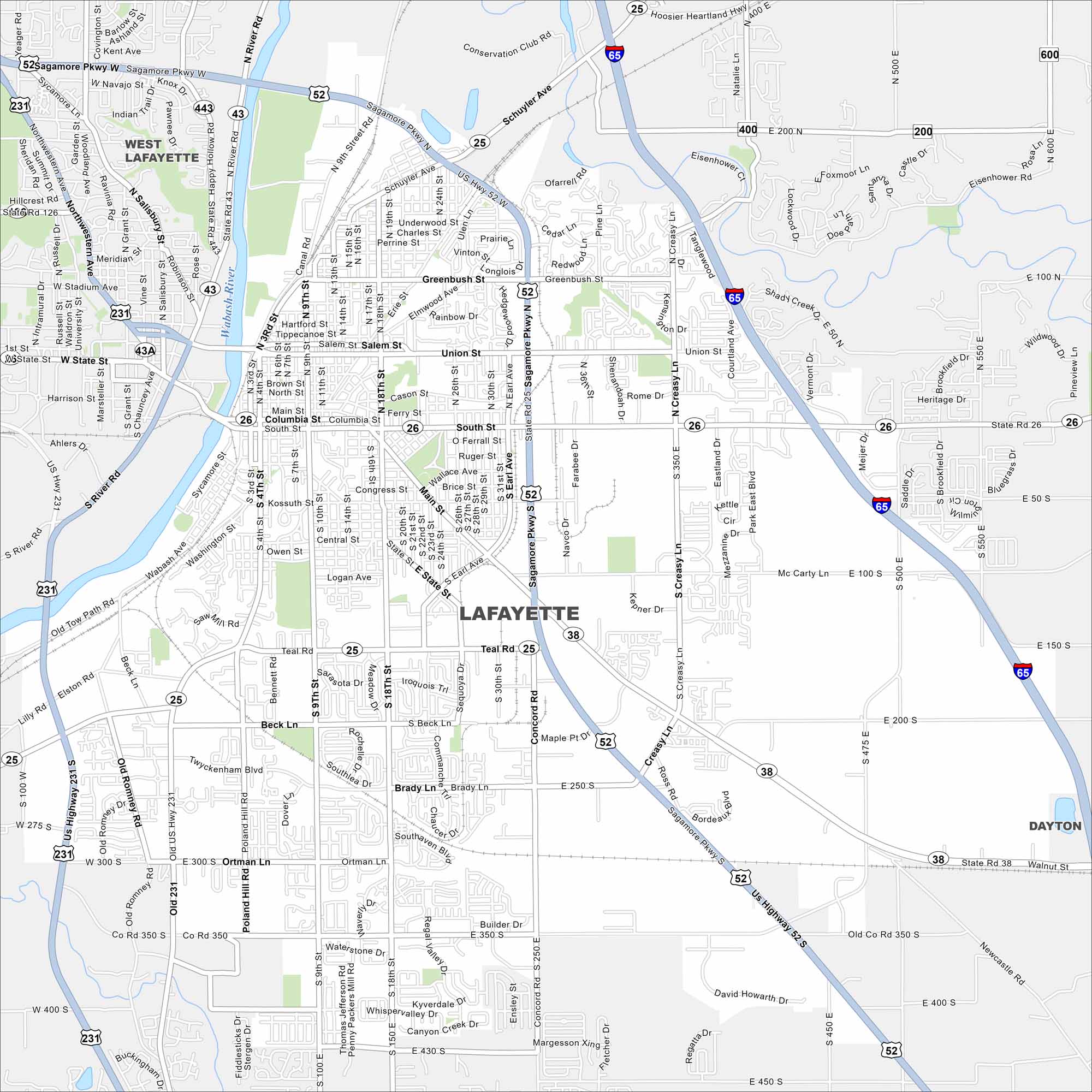
Our map of Lafayette shows the Wabash River cutting through downtown. Streets form a neat grid around the city center with Purdue University just across the river.
Indiana State Maps
Study about Indiana with our map collection


Map Information
On the Map
Interstates/Highways: I-65, US Hwy 52, US Hwy 231, State Rte 25, State Rte 26, State Rte 38, State Rte 43 Major Roads: Sagamore Pkwy, Teal Rd, Main St, Columbia St, South St, Union St, Greenbush St, Creasy Ln, Concord Rd, Brady Ln, Beck Ln, Old Romney Rd, Poland Hill Rd, 4th St, 9th St, 18th St, Earl Ave, Schuyler Ave, 350 S, 430 S Major Rivers: Wabash River Nearby Communities: West Lafayette, DaytonIndiana City Maps
Here are our maps of Indianapolis and Indiana cities


