Map of Kent, Washington
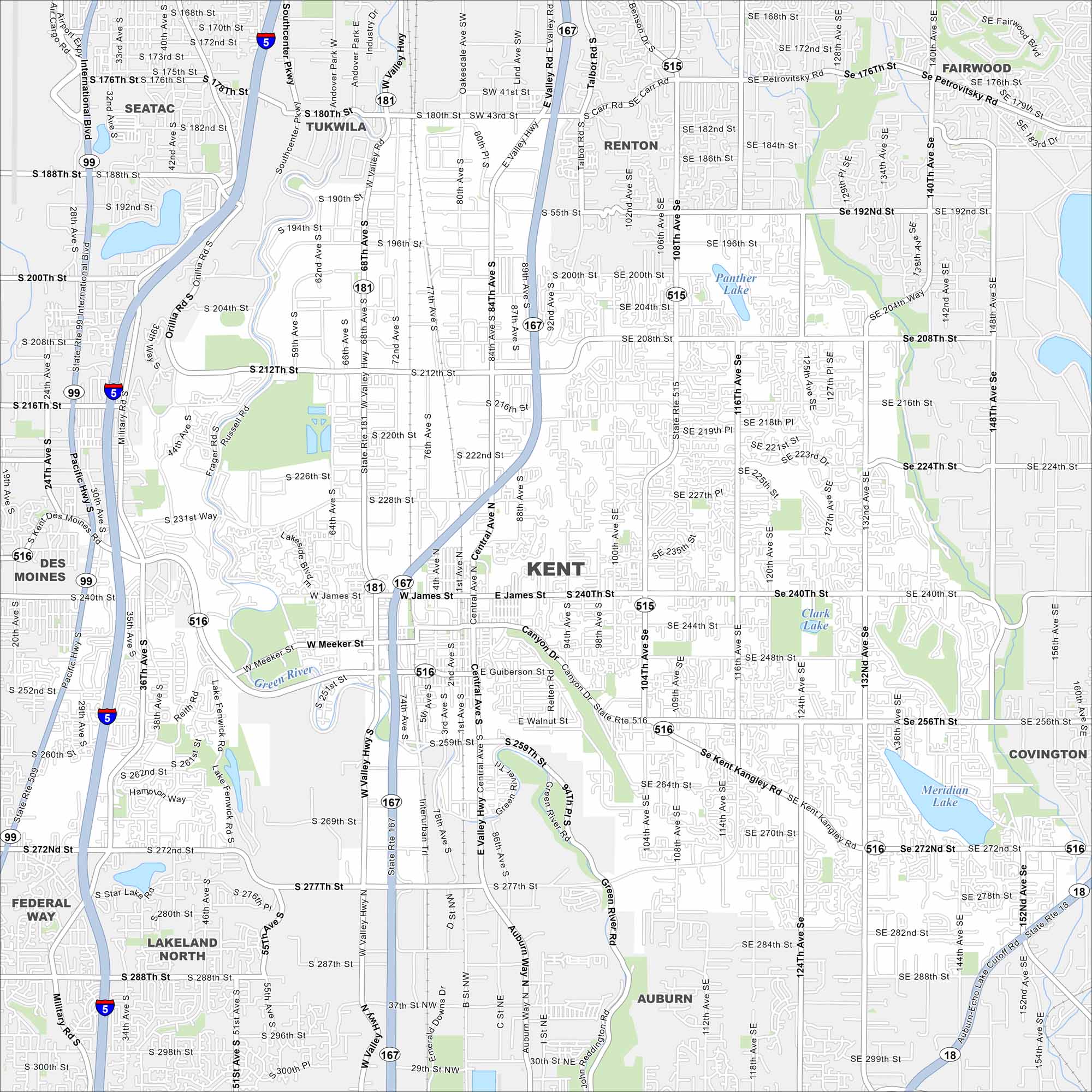
Kent is in the Green River Valley with hills rising sharply on both sides. Our map shows lakes, rivers, highways, roads, parks and much more.
Map Information
On the Map
Interstates/Highways: I-5, State Rte 167, State Rte 99, State Rte 516, State Rte 18, State Rte 181, State Rte 515 Major Roads: Valley Hwy, Central Ave, Pacific Hwy, Military Rd, Meeker St, Willis St, Kent Kangley Rd, Canyon Dr, Reiten Rd, Benson Rd, Talbot Rd, Smith St, James St, 68th Ave, 84th Ave, 104th Ave, 108th Ave, 132nd Ave, 212th St, 240th St Lakes and Reservoirs: Panther Lake, Meridian Lake Major Rivers: Green River Nearby Communities: Tukwila, Renton, Fairwood, SeaTac, Des Moines, Covington, Auburn, Federal Way, Lakeland NorthWashington State Maps
Move through the Evergreen State with our map collection.


City Maps of Washington
Check out our city maps of Washington


