Map of Kennewick, Washington
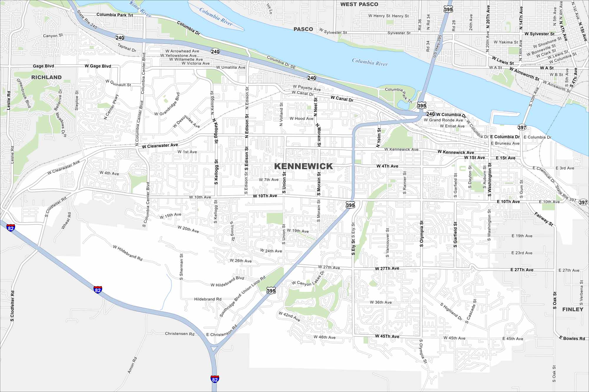
Our map of Kennewick shows its location on the Columbia River. Bridges link it with Pasco and Richland. Farmland spread out to the south.
Map Information
On the Map
Interstates/Highways: I-82, US Hwy 395, State Rte 240, State Rte 397 Major Roads: Columbia Center Blvd, Clearwater Ave, Kennewick Ave, 4th Ave, 10th Ave, 27th Ave, Canyon Lakes Dr, Southridge Blvd, Hildebrand Blvd, Union Loop Rd, 45th Ave, Kellogg St, Edison St, Union St, Morain St, Ely St, Vancouver St, Washington St, Gum St, Oak St Major Rivers: Columbia River Nearby Communities: Richland, Pasco, West Pasco, FinleyWashington State Maps
Move through the Evergreen State with our map collection.


City Maps of Washington
Check out our city maps of Washington


