Map of Hobart, Indiana
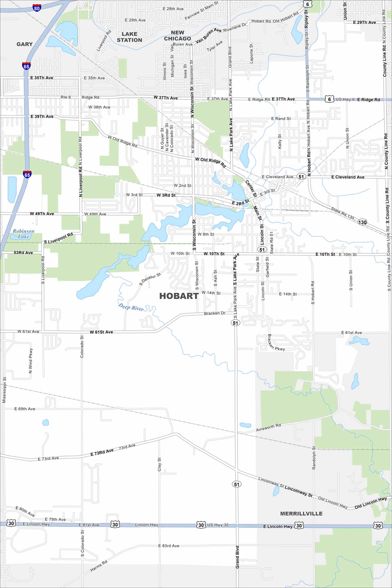
Our map of Hobart shows the downtown built around Lake George. Highways connect the city to nearby Gary and Chicago. The lake is definitely a central landmark for the community.
Indiana State Maps
Study about Indiana with our map collection


Map Information
On the Map
Interstates/Highways: I-65, I-80, US Hwy 6, US Hwy 30, State Rte 51, State Rte 130 Major Roads: Ridge Rd, 37th Ave, 10th St, 61st Ave, 73rd Ave, Old Ridge Rd, Main St, Wisconsin St, Lake Park Ave, Liverpool Rd, Colorado St, Clay St, Randolph St, Ash St, Lincoln St, Bracken Dr, Ainsworth Rd, Old Lincoln Hwy, 3rd St, 49th Ave Lakes and Reservoirs: Robinson Lake Major Rivers: Deep River Nearby Communities: Gary, Lake Station, New Chicago, MerrillvilleIndiana City Maps
Here are our maps of Indianapolis and Indiana cities


