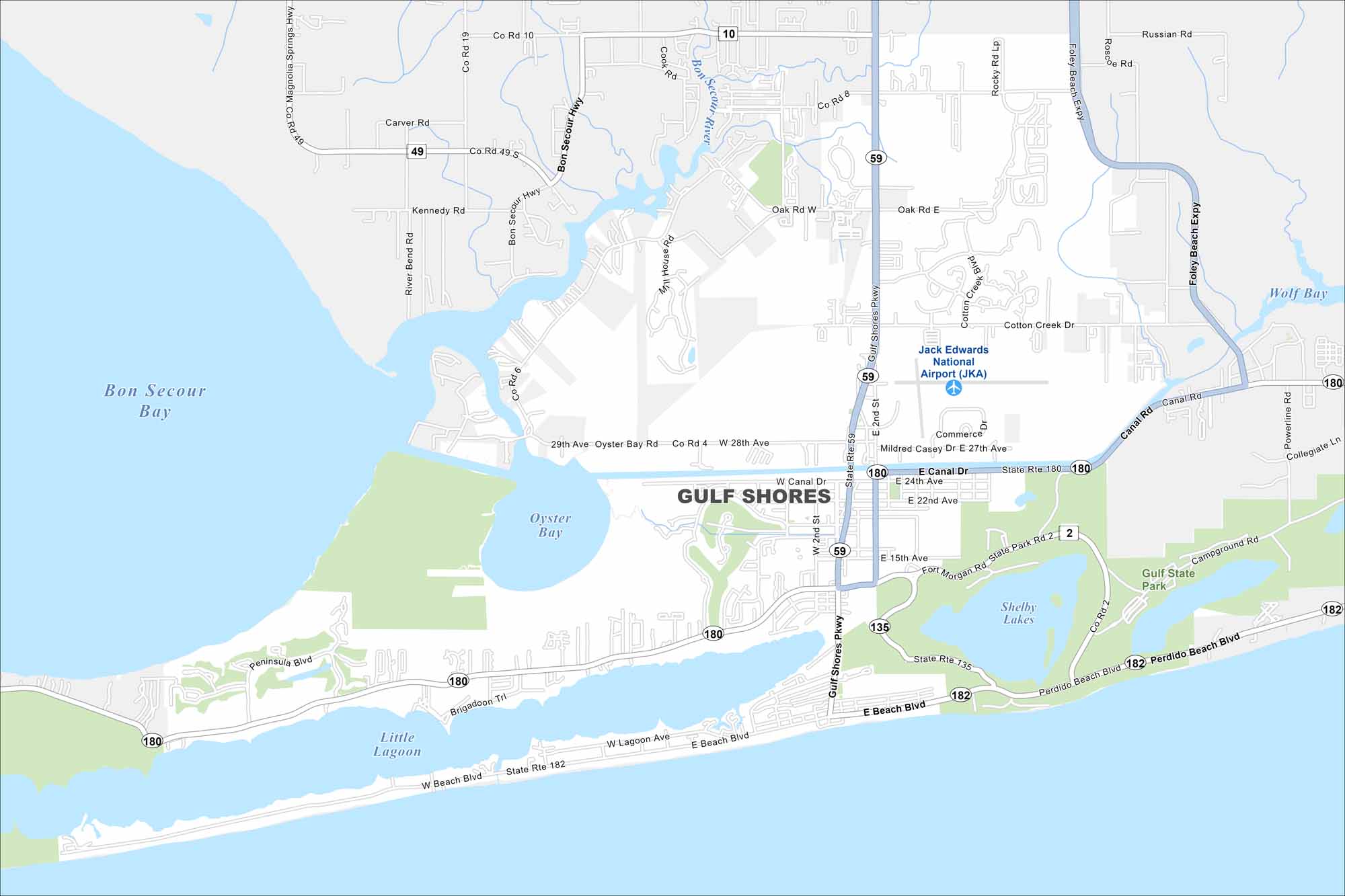
Map of Gulf Shores, Alabama
Explore our map of Gulf Shores on Alabama’s Gulf Coast. You’ll see beaches stretching along the shoreline. Waterways and state parks frame much of the area.


Map Information
On the Map
Interstates/Highways: State Rte 59, State Rte 180 (W Canal Dr/E Canal Dr/Fort Morgan Rd), State Rte 182 (W Beach Blvd/E Beach Blvd/Perdido Beach Blvd), State Rte 135 (Gulf Shores Pkwy) Major Roads: Gulf Shores Pkwy, W Canal Dr, E Canal Dr, Fort Morgan Rd, W Beach Blvd, E Beach Blvd, Perdido Beach Blvd, W Lagoon Ave, E Lagoon Ave, E 2nd St, W 2nd St, E 15th Ave, E 22nd Ave, E 24th Ave, E 27th Ave, Cotton Creek Dr, Foley Beach Expy, Powerline Rd, Coastal Segway Adventures (near Campground Rd), Peninsula Blvd Airports: Jack Edwards National Airport (JKA) Lakes and Reservoirs: Shelby Lakes, Oyster Bay, Little Lagoon, Bon Secour Bay Rivers and Creeks: Bon Secour River, Cotton Creek Parks/Preserves/Forests: Gulf State ParkAlabama City Maps
Here are our city maps of Alabama


