Map of Greenwood, Indiana
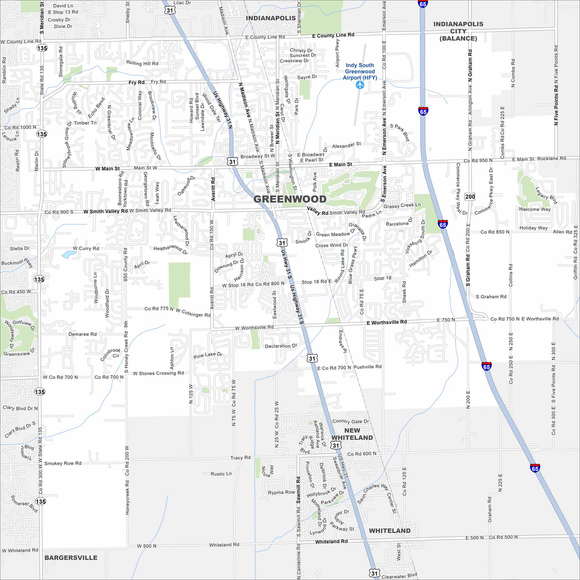
Greenwood is just south of Indianapolis in central Indiana. On the map, you’ll see dense suburban neighborhoods. Highways give it easy access to the capital city.
Indiana State Maps
Study about Indiana with our map collection


Map Information
On the Map
Interstates/Highways: I-65, US Hwy 31, US Hwy 31S, State Rte 135 Major Roads: Main St, County Line Rd, Smith Valley Rd, Worthsville Rd, Stones Crossing Rd, Whiteland Rd, Madison Ave, Emerson Ave, Graham Rd, Sheek Rd, Fry Rd, Averitt Rd, Honeycreek Rd, Smokey Row Rd, Tracy Rd, Stop 18 Rd, Pushville Rd, Meridian St, Fairview Rd, Olive Branch Rd Airports: Indy South Greenwood Airport (HFY) Nearby Communities: Indianapolis, Whiteland, New Whiteland, BargersvilleIndiana City Maps
Here are our maps of Indianapolis and Indiana cities


