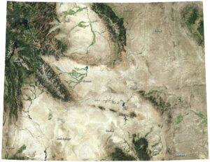
Map of Green River, Wyoming
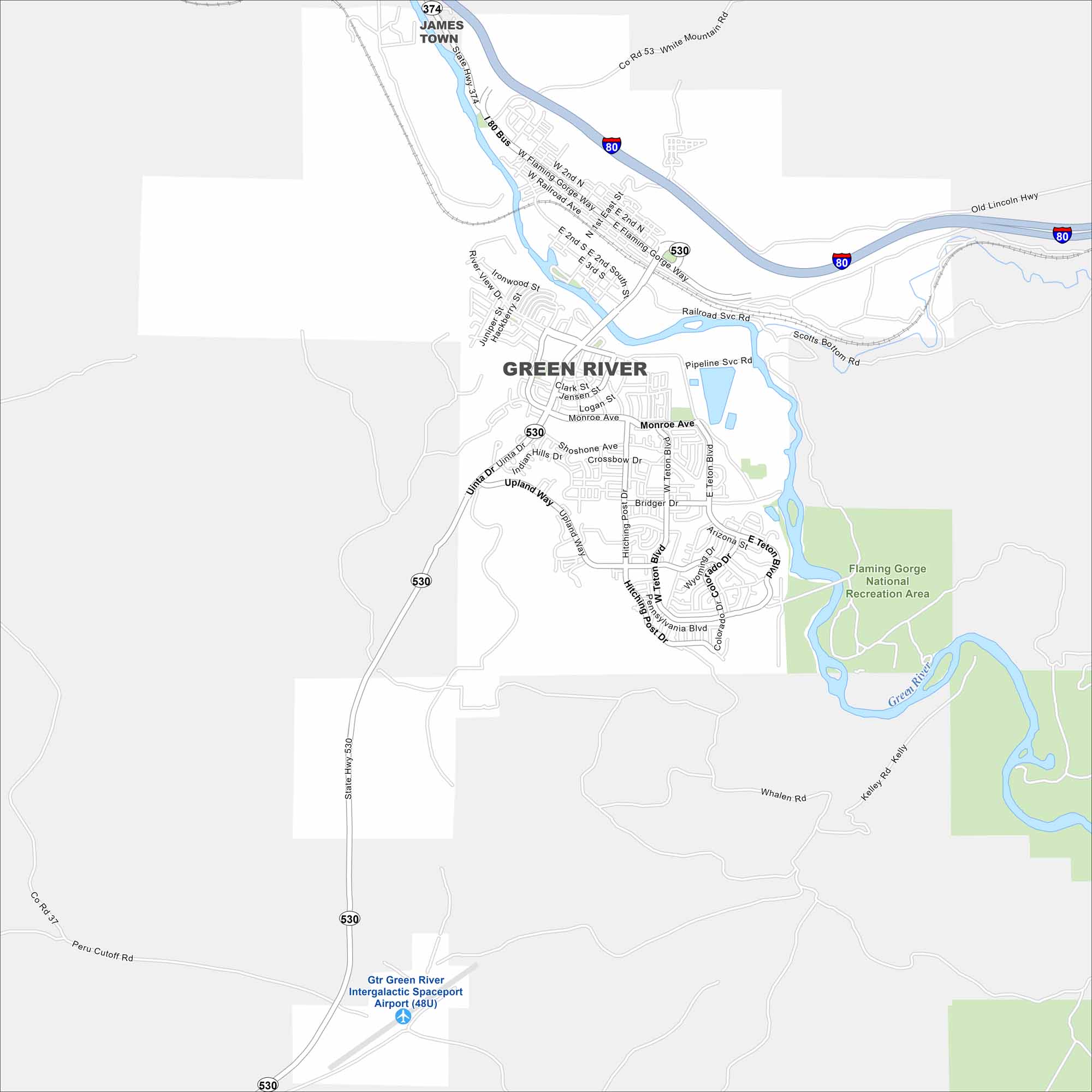
Explore our map of Green River in southwest Wyoming. The city sits along the Green River itself. Rugged canyons and mesas rise nearby.
Map Information
On the Map
Interstates/Highways: I-80, State Hwy 374, State Hwy 530 Major Roads: Flaming Gorge Way, Uinta Dr, Upland Way, River View Dr, Railroad Ave, Monroe Ave, Bridger Dr, Teton Blvd, Colorado Dr, Pennsylvania Blvd, Hitching Post Dr, Wyoming Dr, Arizona St, Peru Cutoff Rd, Kelly Rd, Whalen Rd, White Mountain Rd, Old Lincoln Hwy Airports: Gtr Green River Intergalactic Spaceport Airport (48U) Major Rivers: Green River Parks and Preserves: Flaming Gorge National Recreation Area Nearby Communities: James TownWyoming State Maps
Check out our maps across wide plains and peaks.
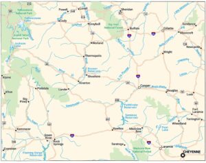


City Maps of Wyoming
Here’s Wyoming mapped from every angle