Map of Goshen, Indiana
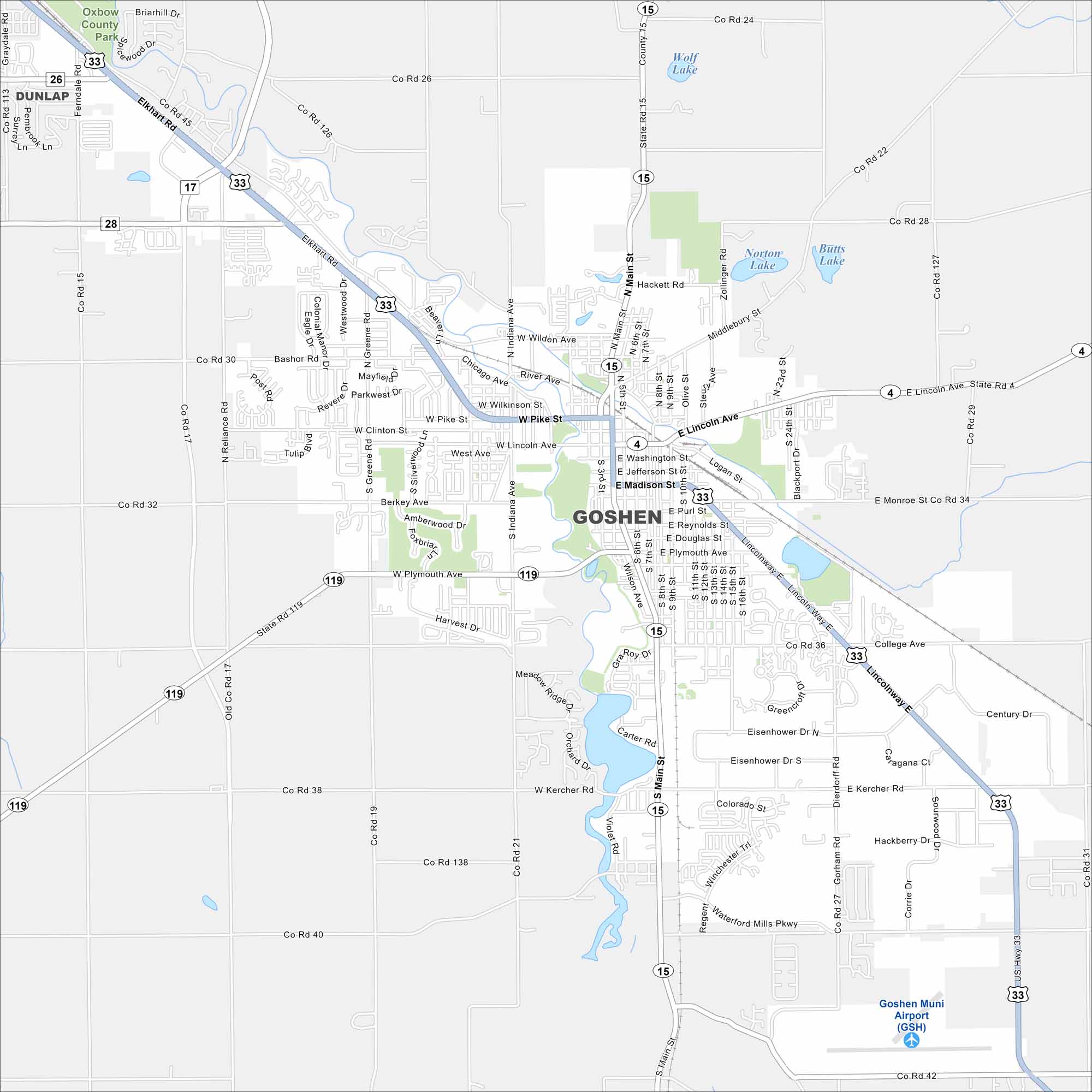
Our map of Goshen highlights it in northern Indiana near the Elkhart River. The river curves through downtown and neighborhoods. Flat farmland spreads outward across the county.
Indiana State Maps
Study about Indiana with our map collection


Map Information
On the Map
Interstates/Highways: US Hwy 33, State Rte 4, State Rte 15, State Rte 119 Major Roads: Main St, Lincoln Ave, Pike St, Madison St, Washington St, College Ave, Plymouth Ave, Kercher Rd, Waterford Mills Pkwy, Century Dr, Eisenhower Dr, Berkey Ave, Reliance Rd, Greene Rd, Chicago Ave, River Ave, Wilden Ave, Dierdorff Rd, Steury Ave, Bashor Rd Airports: Goshen Muni Airport (GSH) Lakes and Reservoirs: Wolf Lake, Norton Lake, Butts Lake Major Rivers: Elkhart River Parks and Preserves: Oxbow County Park Nearby Communities: DunlapIndiana City Maps
Here are our maps of Indianapolis and Indiana cities


