Map of Gig Harbor, Washington
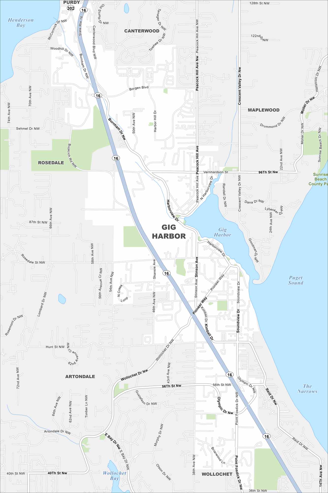
Gig Harbor is tucked on Puget Sound, with marinas and waterfront neighborhoods. It’s nicknamed the “Maritime City” because of its boating history. Our map shows its roads, parks and bays.
Map Information
On the Map
Interstates/Highways: State Rte 16, State Rte 302 Major Roads: Borgen Blvd, Burnham Dr, Harborview Dr, Stinson Ave, Pioneer Way, Wollochet Dr, Olympic Dr, Point Fosdick Dr, Peacock Hill Ave, Hunt St, 56th St, 36th St, 14th Ave, 38th Ave, 46th Ave, 54th Ave, 56th Ave, 62nd Ave, 70th Ave, 128th St Lakes and Reservoirs: Puget Sound, Gig Harbor, Henderson Bay, Wollochet Bay, The Narrows Nearby Communities: Purdy, Canterwood, Maplewood, Rosedale, Artondale, WollochetWashington State Maps
Move through the Evergreen State with our map collection.


City Maps of Washington
Check out our city maps of Washington


