Map of Fairhope, Alabama
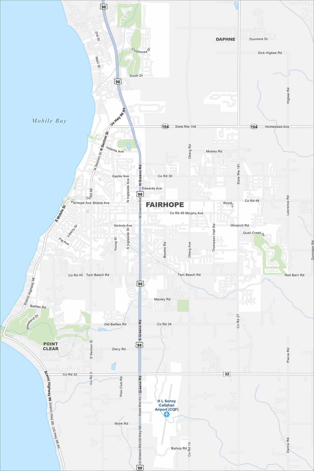
Check out our map of Fairhope on the eastern shore of Mobile Bay. Its streets slope gently toward the waterfront. The bayfront setting is what makes it most memorable compared to other cities in Alabama.


Map Information
On the Map
Interstates/Highways: US Hwy 98, US Hwy 98 Alt, State Rte 104, State Rte 181, State Rte 42, State Rte 32 Major Roads: Scenic Highway 98, N Section St, S Section St, N Greeno Rd, S Greeno Rd, Fairhope Ave, Mobile Ave, Volanta Ave, Gayfer Ave, Edwards Ave, Nichols Ave, Morphy Ave, Twin Beech Rd, Battles Rd, Old Battles Rd, Dairy Rd, Co Rd 13, Co Rd 34, Co Rd 48, Co Rd 32 Airports: H. L. Sonny Callahan Airport (CQF) Lakes and Reservoirs: Mobile Bay Nearby Communities: Daphne, Point ClearAlabama City Maps
Here are our city maps of Alabama


