Map of Everett, Washington
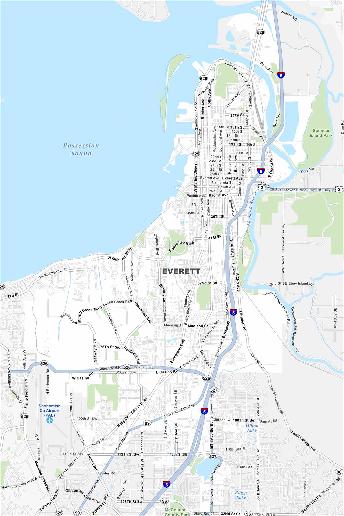
Explore our map of Everett on Puget Sound. The Snohomish River delta spreads out to the east. Its mix of water and coastline.
Map Information
On the Map
Interstates/Highways: I-5, US Hwy 2, State Rte 526, State Rte 527, State Rte 529, State Rte 99, State Rte 96, State Rte 525 Major Roads: Everett Ave, Broadway, Pacific Ave, Colby Ave, Rucker Ave, Marine View Dr, Mukilteo Blvd, Casino Rd, 4th Ave, 7th Ave, 19th Ave, 112th St, 128th St, Evergreen Way, Beverly Blvd, Madison St, Hewitt Ave, California St, 41st St, 75th St Airports: Snohomish Co Airport (PAE) Lakes and Reservoirs: Possession Sound, Hilton Lake, Ruggs Lake Major Rivers: Snohomish River Parks and Preserves: Spencer Island Park, McCollum County ParkWashington State Maps
Move through the Evergreen State with our map collection.


City Maps of Washington
Check out our city maps of Washington


