Map of Ellensburg, Washington
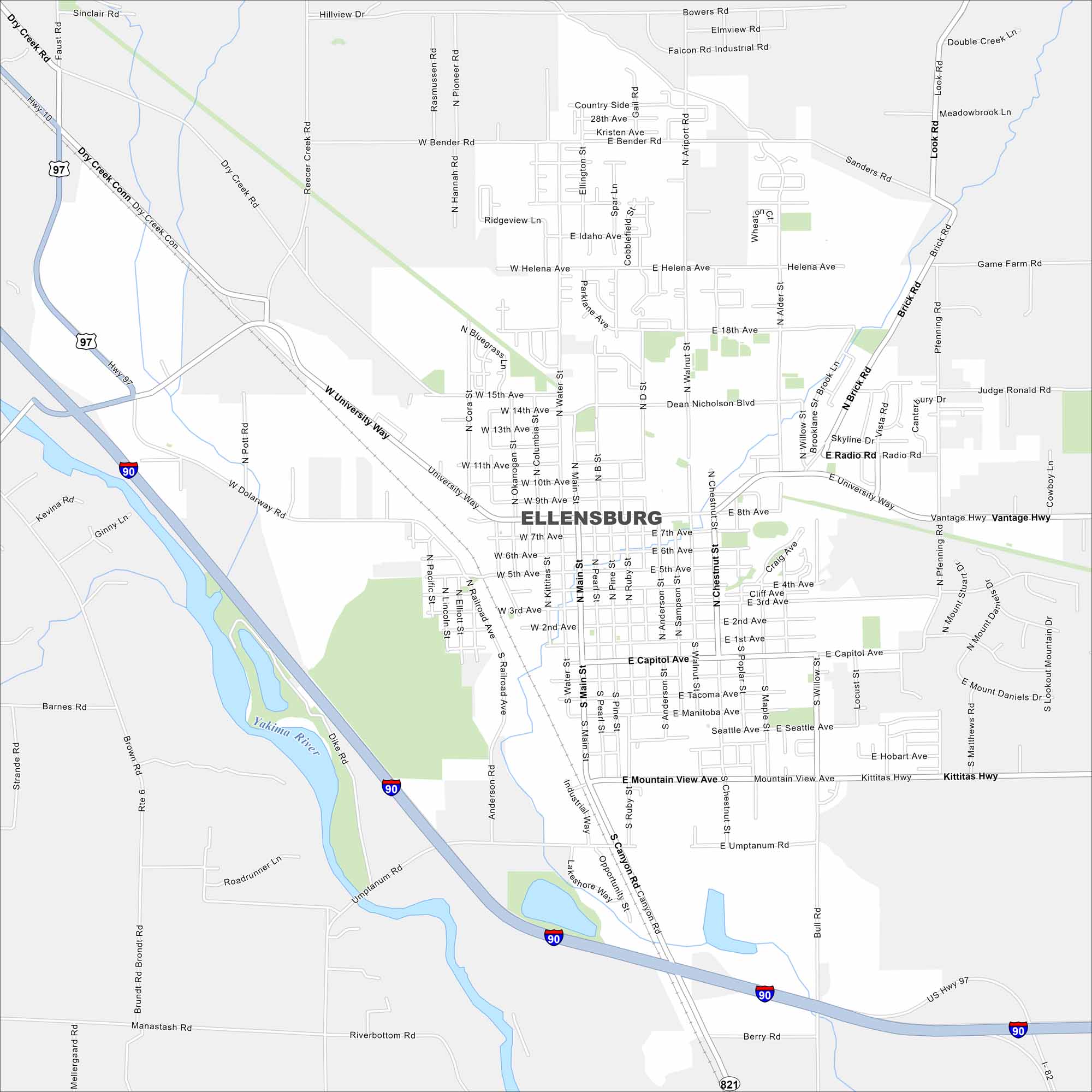
Check out our map of Ellensburg with I-90 cutting right through on the west side. The Yakima River flows nearby on the west as well. Ellensburg is set in the Kittitas Valley at the base of the Cascades.
Map Information
On the Map
Interstates/Highways: I-90, I-82, US Hwy 97, State Rte 821 Major Roads: University Way, Main St, Canyon Rd, Vantage Hwy, Kittitas Hwy, Dolarway Rd, Bender Rd, Helena Ave, Mountain View Ave, Capitol Ave, Seattle Ave, Water St, Ruby St, Anderson St, Chestnut St, Pearl St, Pine St, Walnut St, Willow St, Pfenning Rd Major Rivers: Yakima RiverWashington State Maps
Move through the Evergreen State with our map collection.


City Maps of Washington
Check out our city maps of Washington


