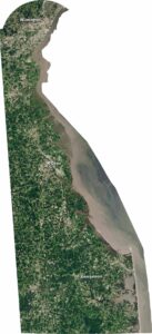
Map of Delaware
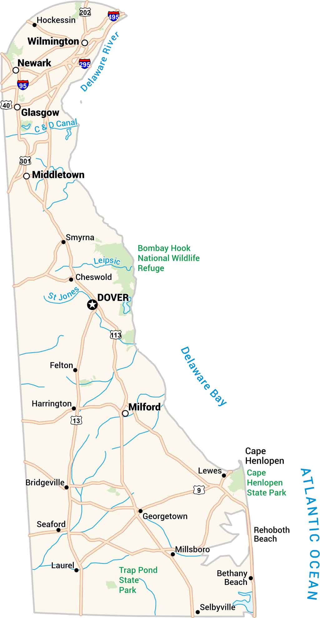
Our Delaware map shows a small state with a lot packed in. Highways link quiet towns to the busy corridor near Wilmington. Rivers, bays, and farmland all share space here. It’s compact, but there’s plenty to explore once you take a closer look.
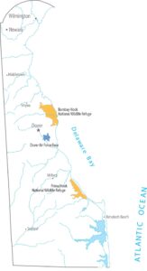
Delaware State Maps
Uncover Delaware with our state maps


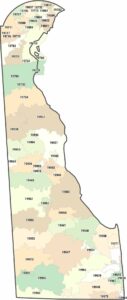
Map Information
On the Map
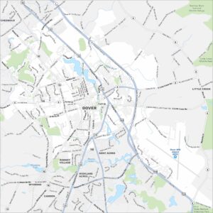
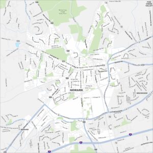
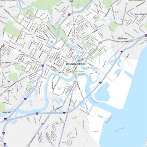
Delaware City Maps
Find Wilmington and maps of Delaware’s cities here