Map of Corvallis, Oregon
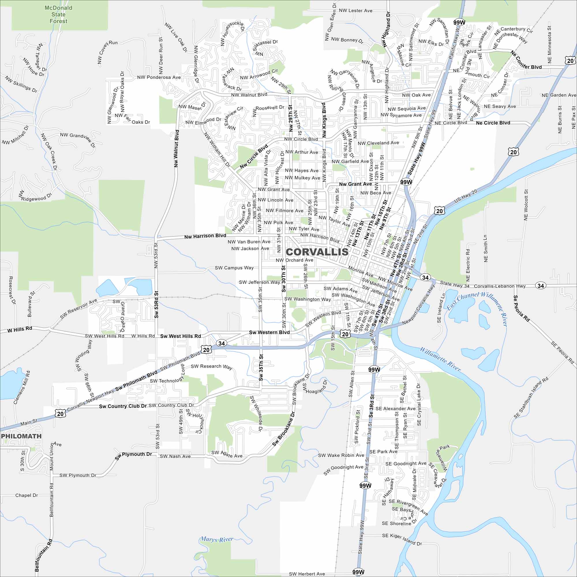
Our map of Corvallis outlines the streets, highways, and the Willamette River. Home to Oregon State University, the city has college life and scenic surroundings.
Map Information
On the Map
Interstates/Highways: US Hwy 20, US Hwy 99W, State Hwy 34 Major Roads: 9th St, Harrison Blvd, Walnut Blvd, 3rd St, 4th St, Circle Blvd, Philomath Blvd, Kings Blvd, 53rd St, Western Blvd, Monroe Ave, Jefferson Ave, Madison Ave, 15th St, Brooklane Dr, Country Club Dr, West Hills Rd, Reservoir Ave, Highland Dr, Witham Hill Dr Major Rivers: Willamette River, Marys River Parks and Preserves: McDonald State Forest Nearby Communities: PhilomathOregon State Maps
Here is our state map collection of Oregon.


City Maps of Oregon
Get to know Portland and Oregon’s urban areas.


