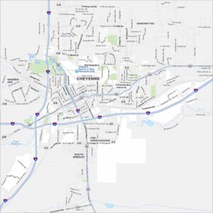
Map of Cheyenne, Wyoming
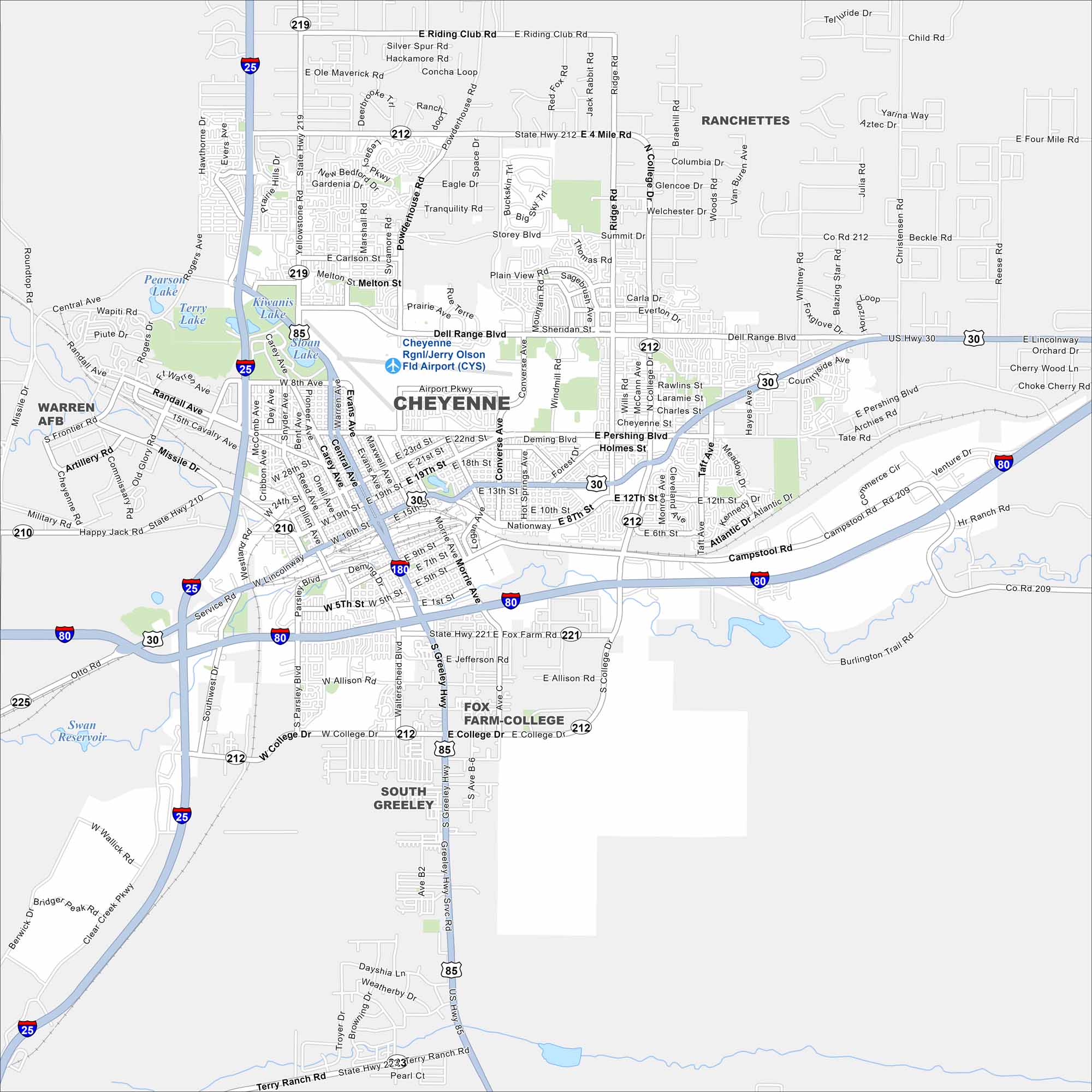
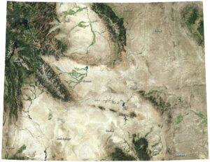
Cheyenne is mapped with its streets, highways, and rail lines. As the state capital, it lies on the high plains near the Colorado border. Wide-open prairie surrounds the city.
Map Information
On the Map
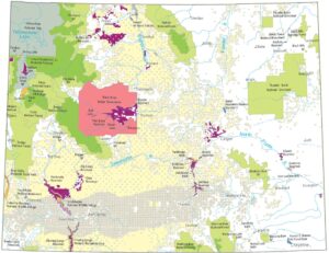
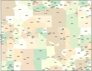
Interstates/Highways: I-25, I-80, I-180, US Hwy 85, US Hwy 30, State Hwy 210, State Hwy 211, State Hwy 212, State Hwy 219, State Hwy 221, State Hwy 225 Major Roads: Dell Range Blvd, Central Ave, College Dr, Greeley Hwy, Warren Ave, Pershing Blvd, Lincolnway, Yellowstone Rd, Campstool Rd, Ridge Rd, Converse Ave, Carey Ave, Parsley Blvd, Walterscheid Blvd, Carlson St, Missile Dr, Randall Ave, Happy Jack Rd, Riding Club Rd, Four Mile Rd Airports: Jerry Olson Fld Airport (CYS) Lakes and Reservoirs: Sloan Lake, Kiwanis Lake, Terry Lake, Pearson Lake, Swan Reservoir Nearby Communities: Ranchettes, South Greeley, Fox Farm-CollegeWyoming State Maps
Check out our maps across wide plains and peaks.
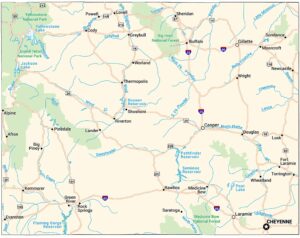


City Maps of Wyoming
Here’s Wyoming mapped from every angle