Map of Centralia, Washington
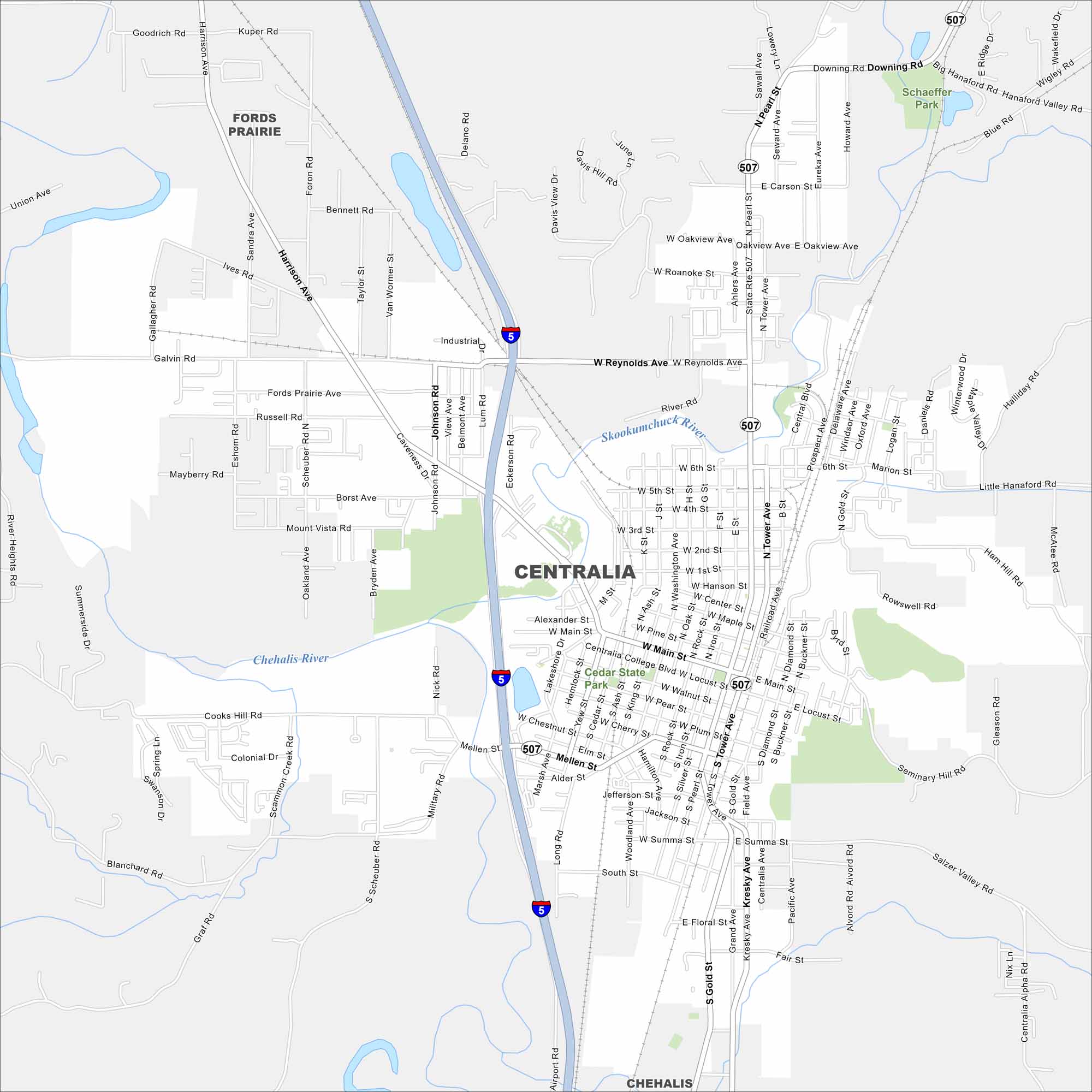
Centralia is shaped by the Chehalis and Skookumchuck Rivers. Our map follows these waterways through this city that sits between Seattle and Portland. It’s known as a midway stop because of its location on the I-5 corridor.
Map Information
On the Map
Interstates/Highways: I-5, State Rte 507 Major Roads: Harrison Ave, Tower Ave, Main St, Mellen St, Reynolds Ave, Pearl St, Gold St, Scheuber Rd, Galvin Rd, Alder St, Cherry St, Walnut St, First St, Sixth St, Oakview Ave, High St, Iron St, Rock St, Diamond St, Buckner St Major Rivers: Chehalis River, Skookumchuck River Parks and Preserves: Cedar State Park, Schaeffer Park Nearby Communities: Fords Prairie, ChehalisWashington State Maps
Move through the Evergreen State with our map collection.


City Maps of Washington
Check out our city maps of Washington


