Map of Central, Louisiana
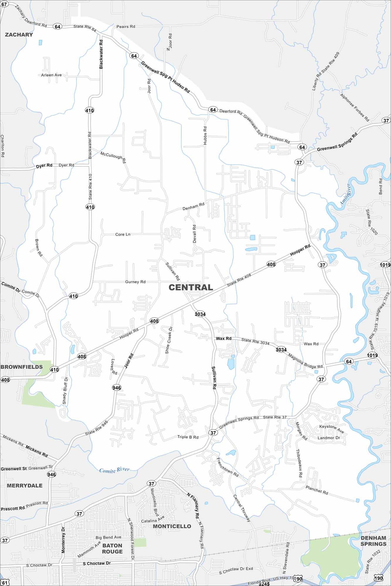
Our map of Central shows spread-out neighborhoods with bayous cutting through. The city is tied closely to Baton Rouge but holds onto its own identity. That balance makes it feel distinct in the metro area.
Louisiana State Maps
Here are maps showcasing the state of Louisiana


Map Information
On the Map
Interstates/Highways: US Hwy 190, State Rte 37, State Rte 64, State Rte 408, State Rte 409, State Rte 410, State Rte 946, State Rte 1019 Major Roads: Hooper Rd, Greenwell Springs Rd, Joor Rd, Sullivan Rd, Wax Rd, Blackwater Rd, Magnolia Bridge Rd, Central Thruway, Frenchtown Rd, Denham Rd, Gurney Rd, Core Ln, Hubbs Rd, Pt Hudson Rd, Peairs Rd, Liberty Rd, Dyer Rd, McCullough Rd, Lovett Rd, Shoe Creek Dr Major Rivers: Comite River, Amite River Nearby Communities: Zachary, Brownfields, Merrydale, Monticello, Baton Rouge, Denham SpringsCity Maps of Louisiana
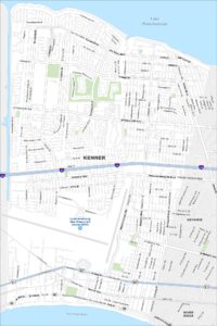
Explore New Orleans and Louisiana’s urban centers with our city maps