Map of Center Point, Alabama
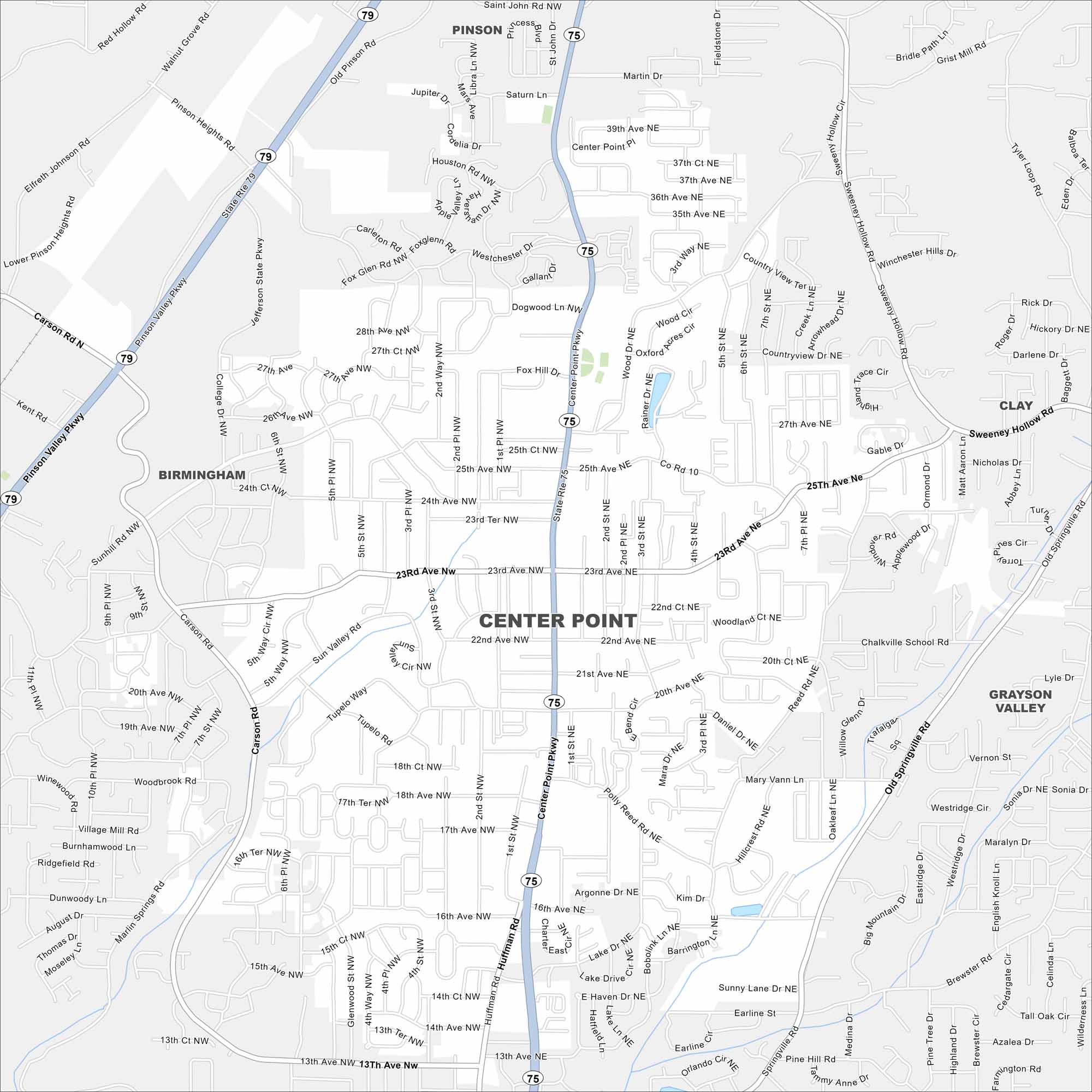
Center Point is a suburban city in the Birmingham metro. Our map highlights its residential layout and green surroundings. Although it feels close to the city, it still has a quieter suburban pace.


Map Information
On the Map
Interstates/Highways: AL-75, AL-79 Major Roads: Center Point Parkway, Carson Road, Sun Valley Road, College Avenue, Pinson Valley Parkway, Old Springville Road, Chalkville School Road, Polly Reed Road, Hillegas Road, Reed Road, Woodland Circle, Wood Drive, 23rd Avenue NE, 23rd Avenue NW, 22nd Avenue NE, 22nd Avenue NW, 21st Avenue NE, 20th Avenue NE, 25th Avenue NE, 27th Avenue NE Nearby Communities: Birmingham, Pinson, Clay, Grayson ValleyAlabama City Maps
Here are our city maps of Alabama


