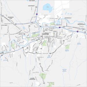
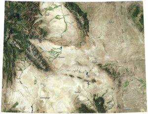
Map of Casper, Wyoming
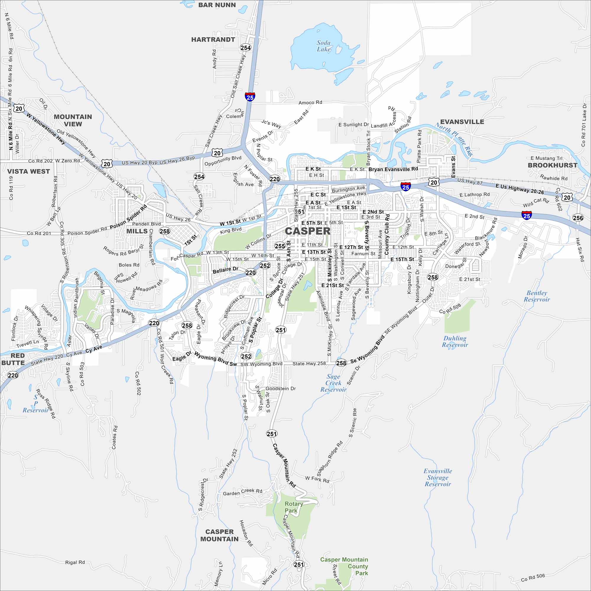
Casper is surrounded by wide plains and the North Platte River. Our map shows the city stretching at the foot of Casper Mountain. It’s a regional hub because of its central Wyoming location.
Map Information
On the Map
Interstates/Highways: I-25, US Hwy 20, US Hwy 26, US Hwy 87, State Hwy 251, State Hwy 258, State Hwy 252, State Rte 220 Major Roads: Wyoming Blvd, Yellowstone Hwy, Poplar St, Casper Mountain Rd, 2nd St, Cy Ave, Collins Dr, 12th St, 15th St, 1st St, Bryan Evansville Rd, Lathrop Rd, Poison Spider Rd, Zero Rd, Robertson Rd, Coates Rd, Hat Six Rd, Outer Dr, Walsh Dr, Beverly St Lakes and Reservoirs: Soda Lake, Bentley Reservoir, Duhling Reservoir, Sage Creek Reservoir, Evansville Storage Reservoir, Ross Ridge Reservoir Major Rivers: North Platte River Parks and Preserves: Rotary Park, Casper Mountain County Park Nearby Communities: Bar Nunn, Hartrandt, Evansville, Brookhurst, Vista West, Mountain View, Mills, Red ButteWyoming State Maps
Check out our maps across wide plains and peaks.
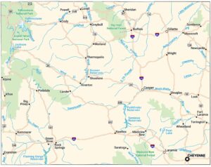


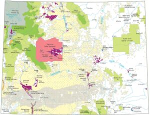


City Maps of Wyoming
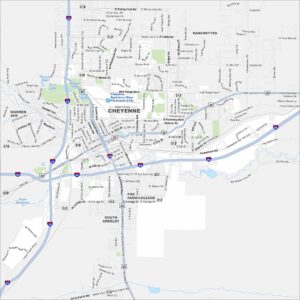
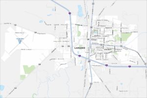
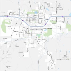
Here’s Wyoming mapped from every angle