Satellite Map of California
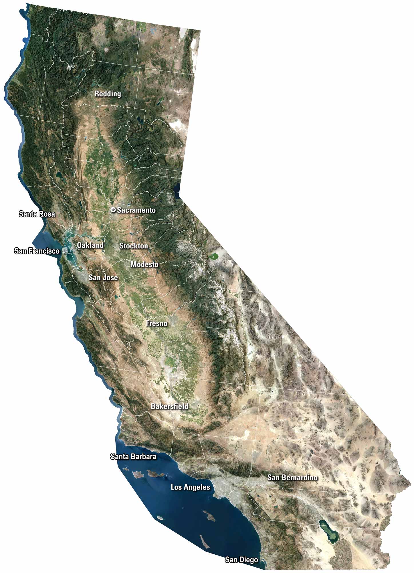
California’s satellite view shows a lot of different types of geography. You’ll notice the green valleys split by wide farmland. Along the coast, cities like San Diego and San Francisco stretch out beside the Pacific. The Sierra Nevada rises east, while deserts cover the south. It’s a state of extremes. And it’s all visible from above on our satellite map.
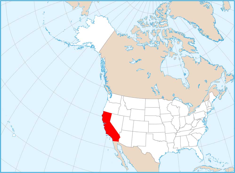
Map Information
On the Map
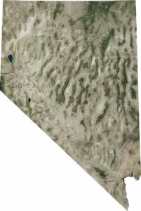
Neighboring State Maps
Find satellite map of neighboring states