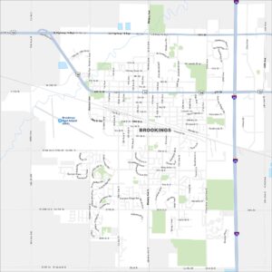
Map of Brookings, South Dakota
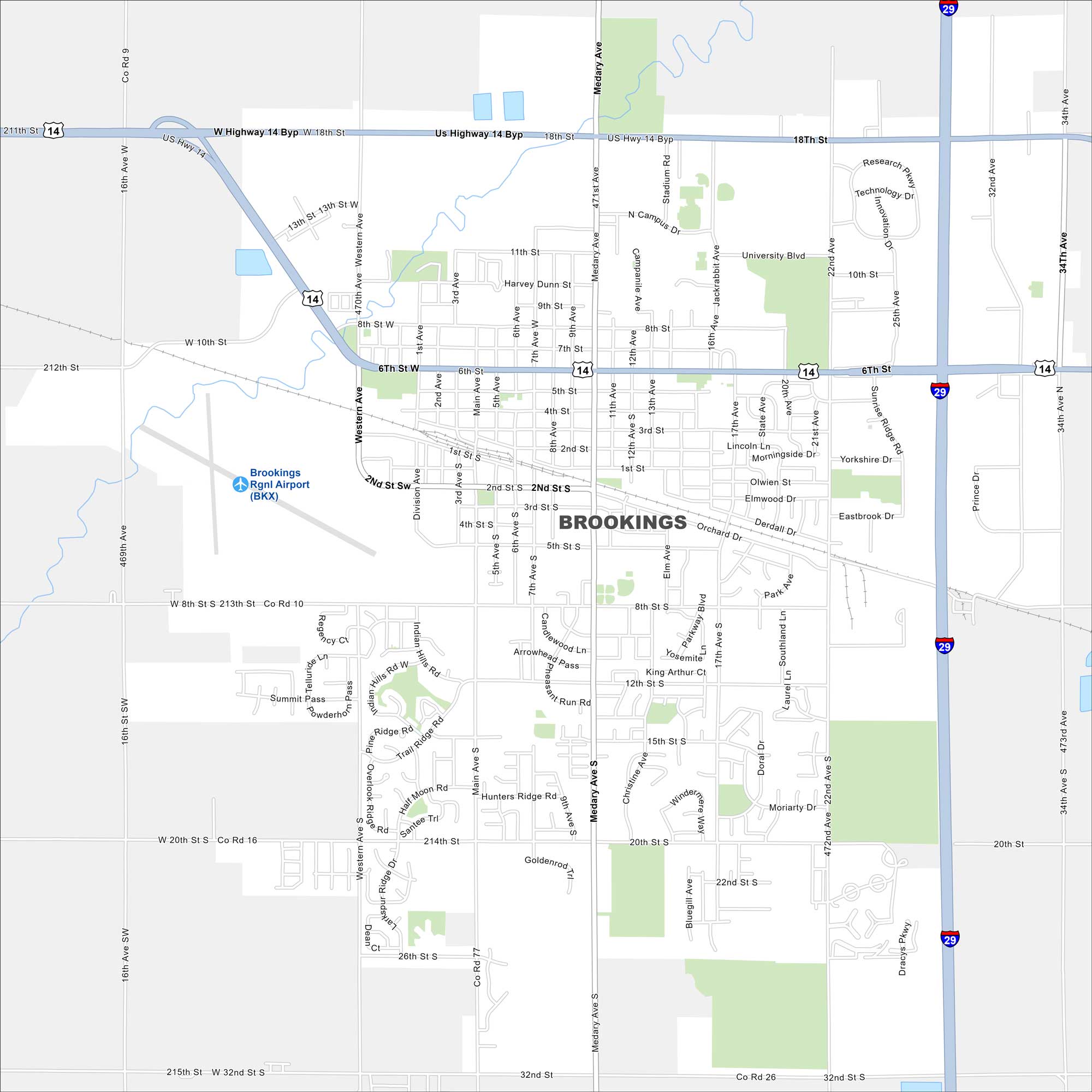
Brookings is in eastern South Dakota, surrounded by farmland. Our map highlights its grid of streets and open fields. It’s the largest city in the region because of its university and industry.
Map Information
On the Map
Interstates/Highways: I-29, US Hwy 14 Major Roads: 6th St, Medary Ave, Western Ave, 22nd Ave, 20th St, 32nd St, 34th Ave, 8th St, Main Ave, 15th St, 12th St, 25th Ave, Innovation Dr, Research Pkwy, Technology Dr, 1st St, 2nd St, 3rd St, 4th St, 5th St Airports: Brookings Rgnl Airport (BKX)South Dakota State Maps
View maps from the prairies to the Black Hills.
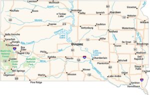


City Maps of South Dakota
Here’s where South Dakota comes into focus