Map of Bloomington, Indiana
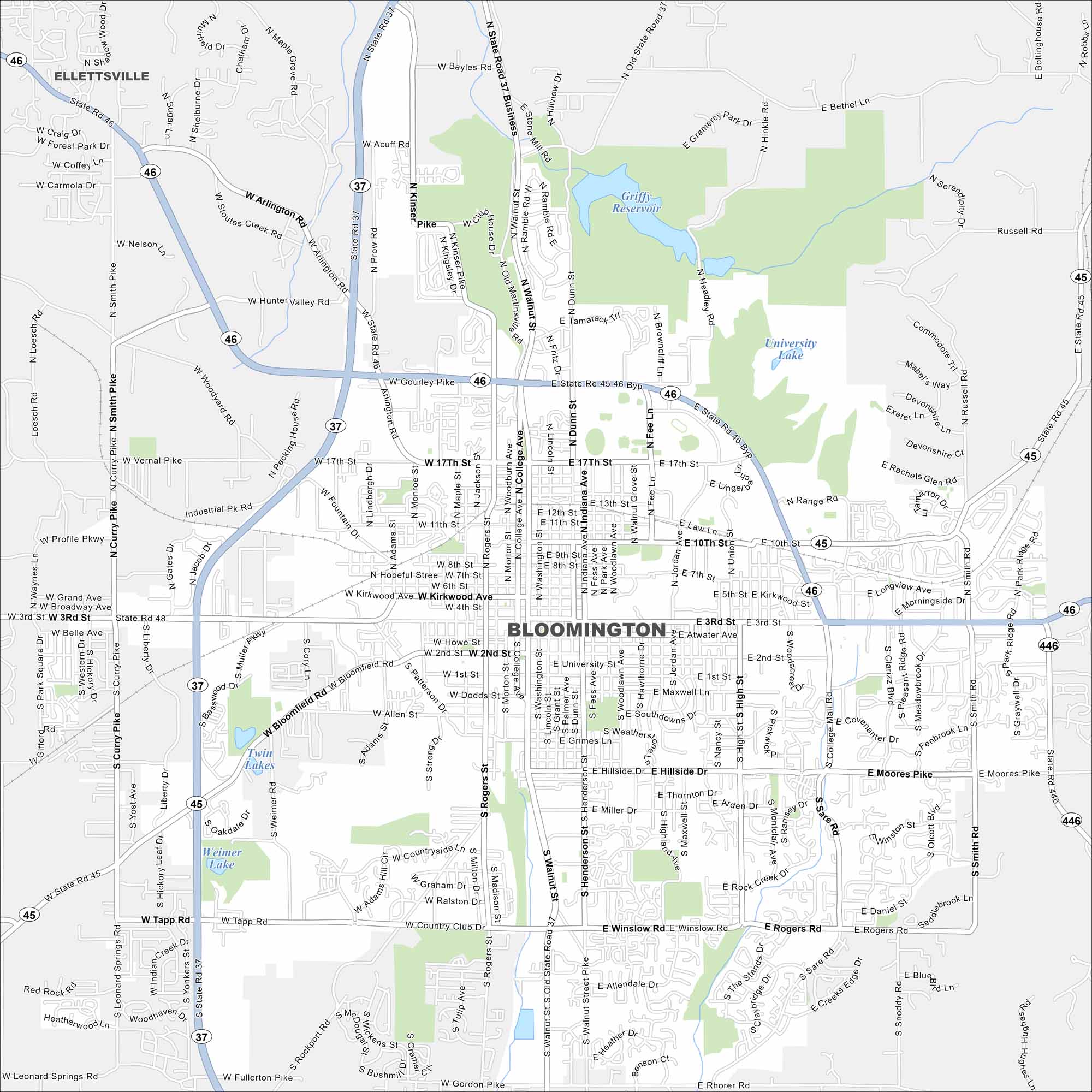
Here’s our map of Bloomington. It’s home to Indiana University and rolling southern Indiana hills. The city is surrounded by forests, lakes, and rolling hills.
Indiana State Maps
Study about Indiana with our map collection


Map Information
On the Map
Interstates/Highways: State Rte 37, State Rte 45, State Rte 46, State Rte 48, State Rte 446 Major Roads: Walnut St, College Ave, 3rd St, 10th St, 17th St, Kirkwood Ave, Rogers St, Henderson St, Winslow Rd, Tapp Rd, Curry Pike, Moore’s Pike, Smith Rd, High St, Miller Dr, Hillside Dr, Atwater Ave, 2nd St, Vernal Pike, Arlington Rd Lakes and Reservoirs: Griffy Reservoir, University Lake, Weimer Lake, Twin Lakes Nearby Communities: EllettsvilleIndiana City Maps
Here are our maps of Indianapolis and Indiana cities


