Map of Baker City, Oregon
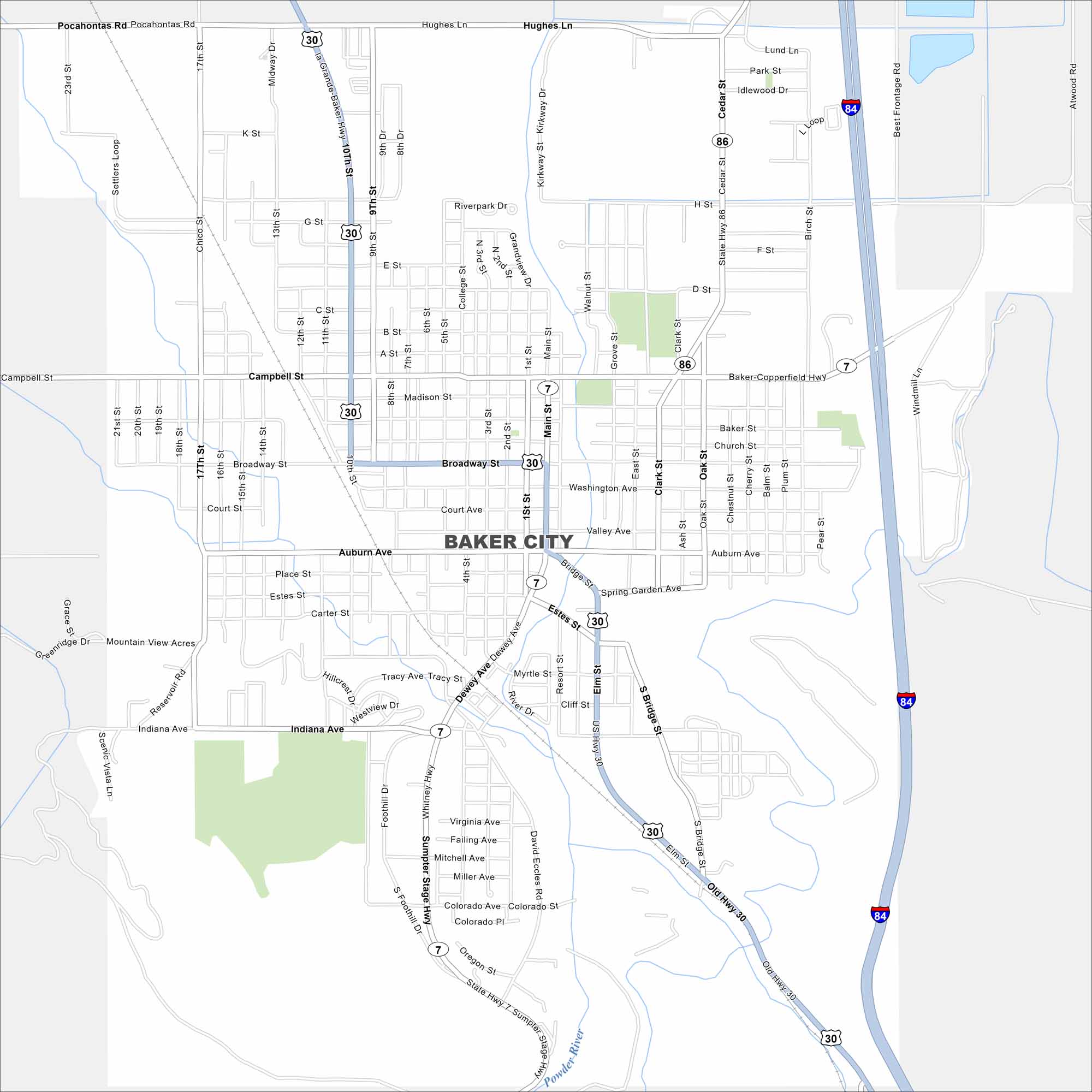
See the highways, streets, and open park areas in this map. Our map of Baker City highlights its position along the Powder River. The city is known for its history on the Oregon Trail.
Map Information
On the Map
Interstates/Highways: I-84, US Hwy 30, State Hwy 7, State Hwy 86 Major Roads: Broadway, Main St, 10th St, Campbell St, Auburn Ave, 17th St, Cedar St, Eldon St, Resort St, Dewey Ave, Indiana Ave, Pocahontas Rd, Hughes Ln, Lund Ln, Park St, Idlewood Dr, Best Frontage Rd, Atwood Rd, Windmill Ln, Bridge St Major Rivers: Powder RiverOregon State Maps
Here is our state map collection of Oregon.


City Maps of Oregon
Get to know Portland and Oregon’s urban areas.


