Map of Anacortes, Washington
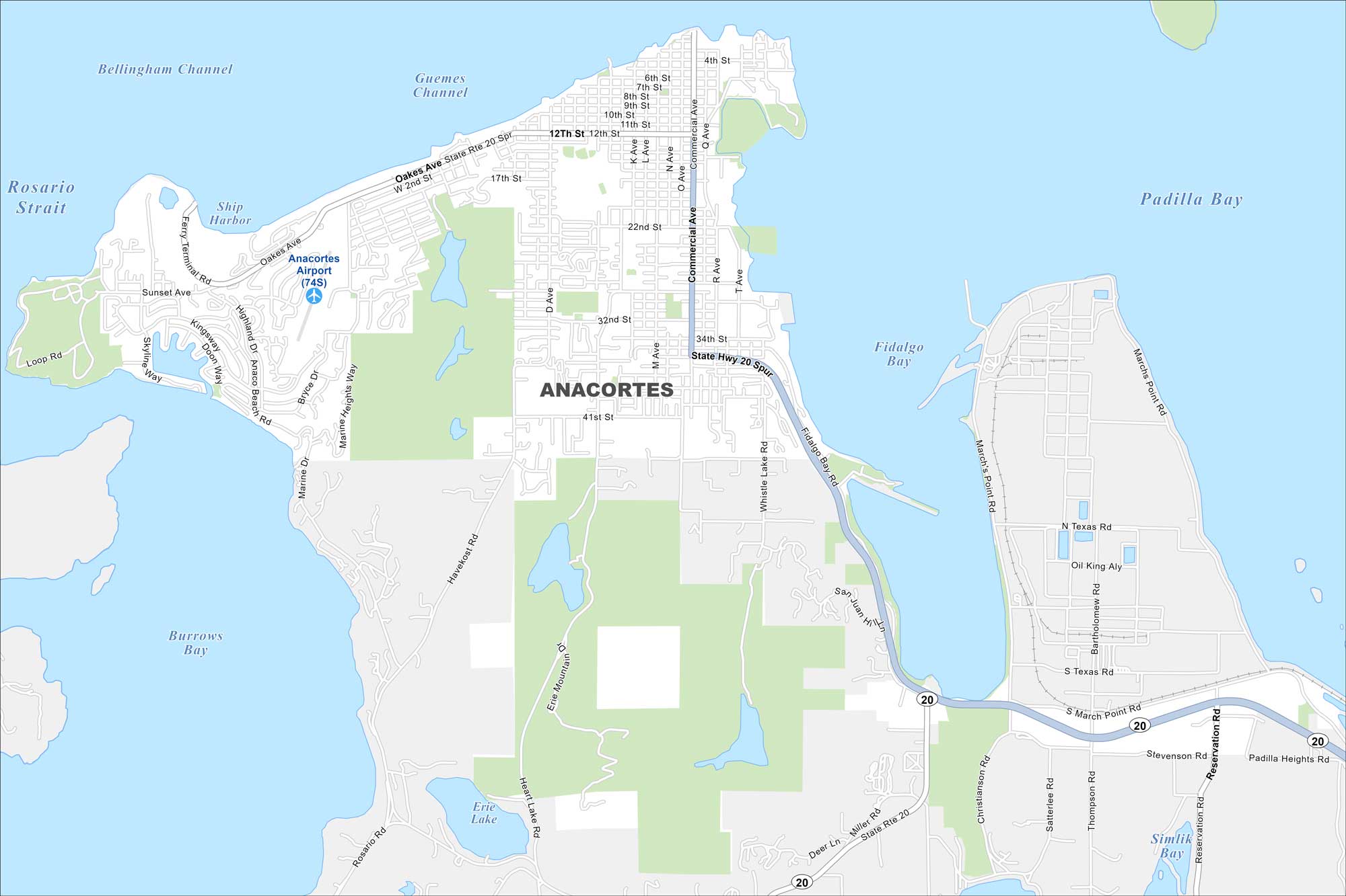
Anacortes is a coastal beauty perched on Fidalgo Island. This is where ferry routes head out to the San Juan Islands. It’s equal parts harbor town and outdoor getaway. See Anacortes in our map.
Map Information
On the Map
Interstates/Highways: State Rte 20 Major Roads: Commercial Ave, Oakes Ave, 12th St, 32nd St, 41st St, Whistle Lake Rd, Havekost Rd, Marine Heights Way, Anaco Beach Rd, Heart Lake Rd, Rosario Rd, March’s Point Rd, Stevenson Rd, Reservation Rd, Miller Rd, Thompson Rd, Satterlee Rd, Christianson Rd, 4th St, Q Ave Airports: Anacortes Airport (74S) Lakes and Reservoirs: Padilla Bay, Fidalgo Bay, Burrows Bay, Ship Harbor, Guemes Channel, Rosario Strait, Erie Lake, Similk Bay Major Rivers: Bellingham ChannelWashington State Maps
Move through the Evergreen State with our map collection.


City Maps of Washington
Check out our city maps of Washington


