Map of Alexandria, Louisiana
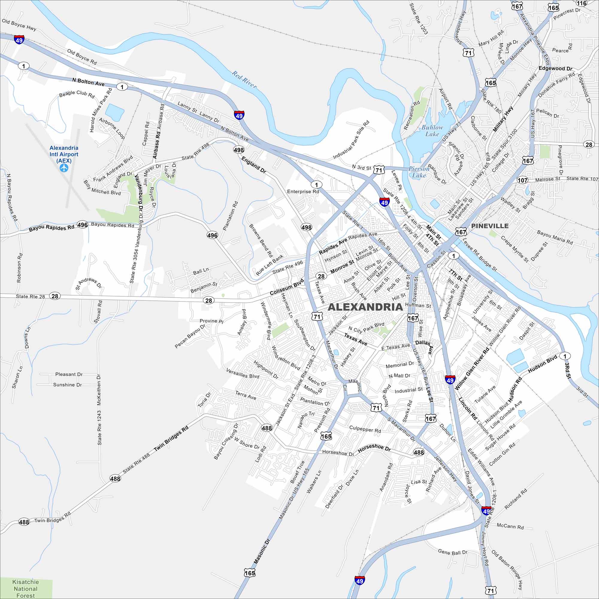
Alexandria sits along the Red River, with roads and bridges tying the city together. Our map shows how it truly is a crossroads of Louisiana. It’s actually right in the center of the state.
Louisiana State Maps
Here are maps showcasing the state of Louisiana


Map Information
On the Map
Interstates/Highways: I-49, US Hwy 71, US Hwy 165, US Hwy 167 Major Roads: MacArthur Dr, Masonic Dr, Coliseum Blvd, England Dr, Airbase Rd, North Bolton Ave, Jackson St, Texas Ave, Bayou Rapides Rd, Vandenburg Dr, 3rd St, 4th St, Enterprise Rd, Windermere Blvd, Twin Bridges Rd, McKeithen Dr, Lanny St, Horseshoe Dr, Military Hwy, Edgewood Dr Airports: Alexandria Intl Airport (AEX) Lakes and Reservoirs: Buhlow Lake, Pierson Lake Major Rivers: Red River Parks and Preserves: Kisatchie National Forest Nearby Communities: PinevilleCity Maps of Louisiana
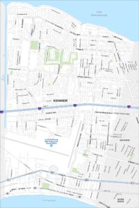
Explore New Orleans and Louisiana’s urban centers with our city maps