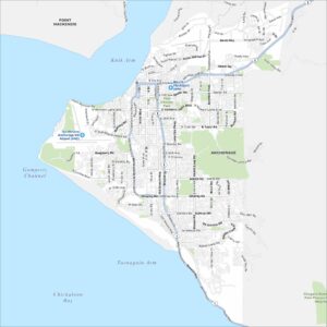
Map of Anchorage, Alaska
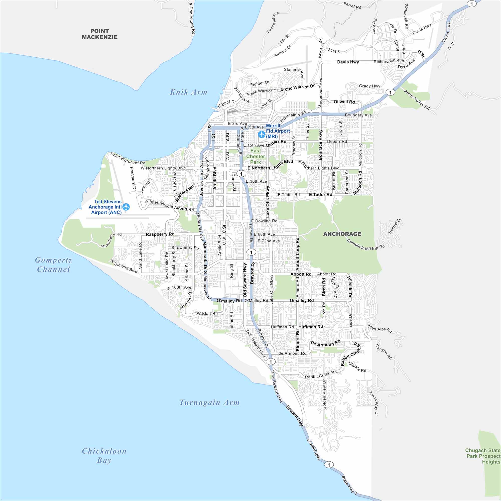
Anchorage stretches across Cook Inlet with rugged mountains nearby. Our map shows a city built wide. But it’s defined by its wilderness all around. See our Anchorage downtown map.
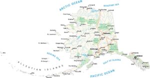
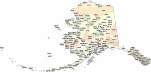
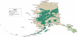
Alaska State Maps
Take a look at our Alaska state maps


Map Information
On the Map
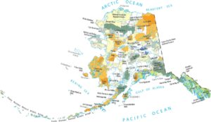
Interstates/Highways: Seward Hwy (AK-1), Glenn Hwy (AK-1), Minnesota Dr Major Roads: Northern Lights Blvd, Benson Blvd, Tudor Rd, Dowling Rd, Dimond Blvd, O’Malley Rd, Abbott Rd, DeArmoun Rd, Huffman Rd, Raspberry Rd, Lake Otis Pkwy, Arctic Blvd, Spenard Rd, International Airport Rd, Merrill Field Dr, Debarr Rd, Boniface Pkwy, Muldoon Rd, Northern Lights Blvd E, Campbell Airstrip Rd Airports: Ted Stevens Anchorage Intl Airport (ANC), Merrill Fld Airport (MRI) Lakes and Reservoirs: Chickaloon Bay Rivers and Creeks: Turnagain Arm, Gompertz Channel, Knik Arm Parks/Preserves/Forests: East Chester Park, Chugach State Park Nearby Communities: Point MackenzieAlaska City Maps
Browse our collection of Alaska city maps